This is a list of selected Australian islands grouped by state or territory. Australia has 8,222 islands within its maritime borders. [1]
Contents
- Largest islands
- By area
- By population
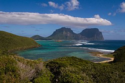
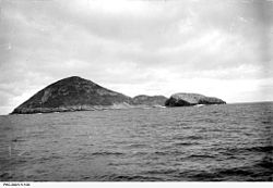
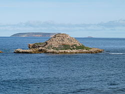
- New South Wales
- Northern Territory
- Queensland
- South Australia
- Ocean islands
- Murray River islands
- Tasmania
- Victoria
- River islands
- Western Australia
- Australian territories
- Jervis Bay Territory
- Australian Capital Territory
- External territories
- See also
- References