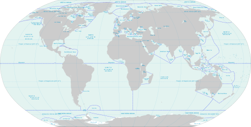
This is a list of seas of the World Ocean, including marginal seas, areas of water, various gulfs, bights, bays, and straits.[2] In many cases it is a matter of tradition for a body of water to be named a sea or a bay, etc., therefore all these types are listed here. Entities called "seas" which are not divisions of the World Ocean are not included in this list, nor are ocean gyres.
Ocean – the four to seven largest named bodies of water in the World Ocean, all of which have "ocean" in the name (see: Borders of the oceans for details).
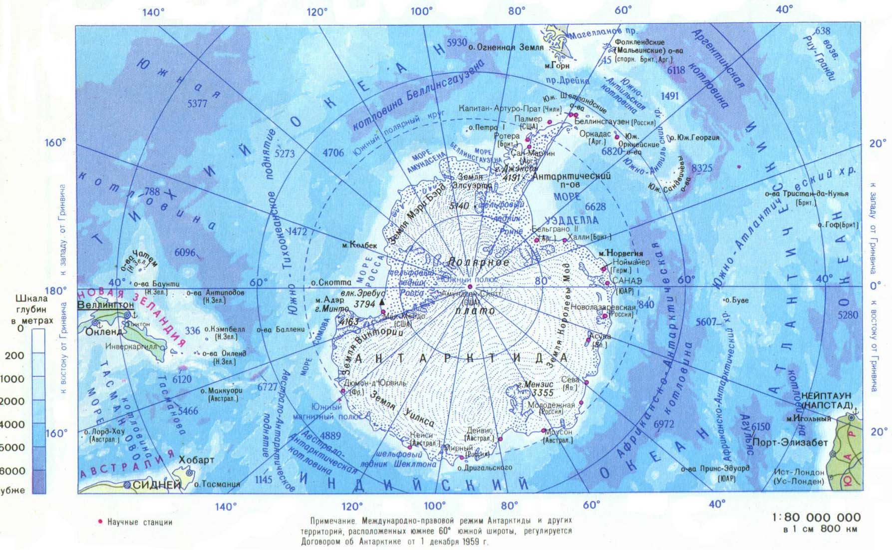
A division of an ocean, delineated by landforms,[6]currents (e.g., Sargasso Sea), or specific latitude or longitude boundaries. This includes but is not limited to marginal seas, and this is the definition used for inclusion in this list.
A marginal sea is a division of an ocean, partially enclosed by islands, archipelagos, or peninsulas, adjacent to or widely open to the open ocean at the surface, and/or bounded by submarine ridges on the sea floor.[7]
The World Ocean. For example, the Law of the Sea states that all of the World Ocean is "sea",[8][9][10][b] and this is also common usage for "the sea".
Any large body of water with "sea" in the name, including lakes.
River – a narrow strip of water that flows over land from a higher elevation to a lower one
Tributary – a small river that flows into a larger one
Estuary – the piece of a river that flows into the sea or ocean
Strait – a narrow area of water connecting two wider areas of water, also sometimes known as a passage
Fjard – a large open water between groups of islands
There are several terms used for bulges of ocean that result from indentations of land, which overlap in definition, and which are not consistently differentiated:[12]
Bay – generic term; though most features with "bay" in the name are small, some are very large
Gulf – a very large bay, often a top-level division of an ocean or sea
Fjord – a long bay with steep sides, typically formed by a glacier
Bight – a bay that is typically shallower than a sound
Sound – a large, wide bay which is typically deeper than a bight or a strait
Cove – a small, typically sheltered bay with a relatively narrow entrance
Inlet – a narrow and long bay similar to a land peninsula, but adjoining the sea
Polynya – least used of these terms, a patch of water surrounded by ice
Many features could be considered to be more than one of these, and all of these terms are used in place names inconsistently; especially bays, gulfs, and bights, which can be very large or very small. This list includes large areas of water no matter the term used in the name.
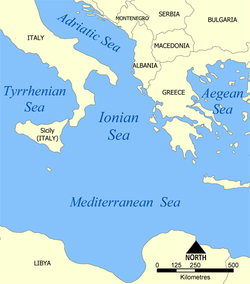
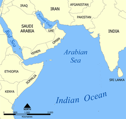
Largest seas by area
The largest terrestrial seas, in decreasing order of area, are:
Seas may be considered marginal between ocean and land, or between oceans in which case they may be treated as marginal parts of either. There is no ultimate authority on the matter.[13]
In addition to the marginal seas listed in the three subsections below, the Arctic Ocean is sometimes considered a marginal sea of the Atlantic.[14][15]
↑There is no accepted technical definition of sea among oceanographers. A rather weak definition is that a sea is a subdivision of an ocean, which means that it must have oceanic basin crust on its floor. This definition, for example, accepts the Caspian Sea, which was once part of an ancient ocean, as a sea.[3] The Introduction to Marine Biology defines a sea as a "landlocked" body of water, adding that the term "sea" is only one of convenience, but the book is written by marine biologists, not oceanographers.[4]The Glossary of Mapping Sciences similarly states that the boundaries between seas and other bodies of water are arbitrary.[5]
↑According to this definition, the Caspian would be excluded as it is legally an "international lake".[11]
123456Proposed names to the IHO 2002 draft. This draft was never approved by the IHO (or any other organization), and the 1953 IHO document (which does not contain these names which mostly originated from 1962 onward) remains currently in force.[17] Leading geographic authorities and atlases do not use these names, including the 2014 10th edition World Atlas from the National Geographic Society and the 2014 12th edition of the Times Atlas of the World. But Soviet and Russian-issued state maps do include them.[18][19]
This page is based on this Wikipedia article Text is available under the CC BY-SA 4.0 license; additional terms may apply. Images, videos and audio are available under their respective licenses.


