Clinton County, New York | |
|---|---|
 | |
 Flag  Seal | |
 Location within the U.S. state of New York | |
| Coordinates: 44°44′N73°41′W / 44.74°N 73.68°W | |
| Country | |
| State | |
| Founded | 1788 |
| Named after | George Clinton |
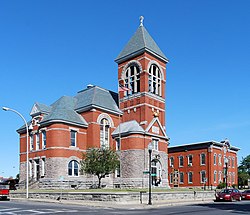
| Seat | Plattsburgh |
| Largest city | Plattsburgh |
| Area | |
• Total | 1,117.53 sq mi (2,894.4 km2) |
| • Land | 1,037.85 sq mi (2,688.0 km2) |
| • Water | 80 sq mi (210 km2) 7.1% |
| Population (2020) | |
• Total | 79,843 |
| • Density | 71/sq mi (27/km2) |
| Time zone | UTC−5 (Eastern) |
| • Summer (DST) | UTC−4 (EDT) |
| Congressional district | 21st |
| Website | www |
Clinton County is the northeasternmost county in the U.S. state of New York. As of the 2020 United States Census, the population was 79,843. [1] Its county seat is the city of Plattsburgh. [2] The county lies just south of the border with the Canadian province of Quebec, and to the west of the State of Vermont. The county is named for George Clinton, the first Governor of New York, who later was elected as Vice President. He had been a Founding Father who represented New York in the Continental Congress. Clinton County comprises the Plattsburgh, New York micropolitan statistical area. The county is part of the North Country region of the state.
Contents
- History
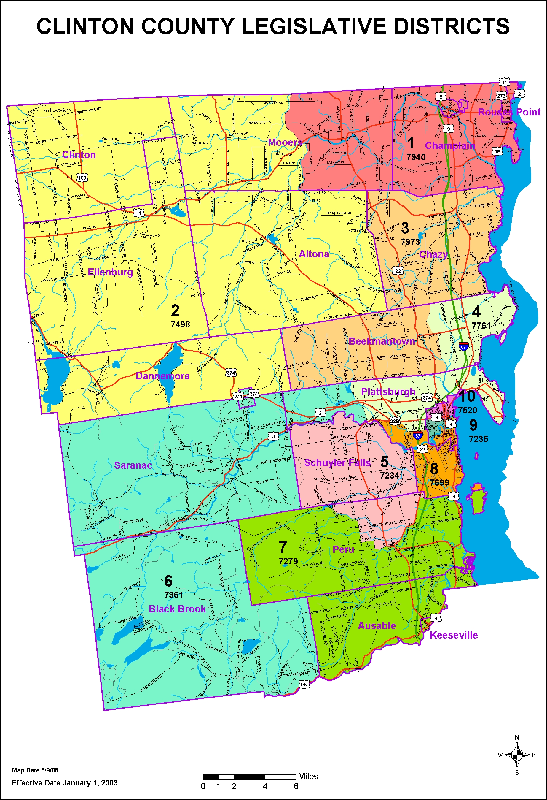
- Geography
- Adjacent counties and municipalities
- Protected areas
- Lakes
- Government and politics
- Demographics
- 2020 census
- 2000 census
- Education
- Infrastructure
- Transportation
- Highways
- Airports
- Rail
- Mass transit
- Communities
- Larger settlements
- Towns
- Hamlets
- See also
- References
- Further reading
- External links

