
Arab al-Samniyya, also known as Khirbat al-Suwwana, was a Palestinian village in the Western Galilee that was captured and depopulated by Israel during the 1948 Arab-Israeli war. It was located in the Acre District of the British Mandate of Palestine, 19.5 km northeast of the city of Acre. In 1945 the, village had a population of 200 Arab and a total land area of 1,872 dunums.

Jubb Yusuf, also called 'Arab al-Suyyad, was a Palestinian village depopulated in the 1948 Arab–Israeli War.

Al-Husayniyya was a Palestinian village, depopulated in 1948.

Al-'Abisiyya was a Palestinian Arab village in the District of Safad. It was depopulated during the 1948 Arab-Israeli War on May 29, 1948, by The Palmach's First Battalion of Operation Yiftach. It was located 28.5 km northeast of Safad near to the Banyas River which the village relied on for irrigation.

Arab al-Shamalina also known as Khirbat Abu Zayna was a Palestinian Arab village in the Safad Subdistrict. It was depopulated during the 1947–1948 Civil War in Mandatory Palestine on May 4, 1948, under Operation Matate (Broom), a sub operation of Operation Yiftach. It was located 13 km southeast of Safad near the Jordan River.
Arab al-Zubayd was a Palestinian village in the Safad Subdistrict. It was depopulated during the 1947–1948 Civil War in Mandatory Palestine on April 20, 1948, when the villagers fled on hearing the intentions of The Palmach's First Battalion of Operation Yiftach. It was located 15 km northeast of Safad, near the al-Mutilla-Safad—Tiberias highway.

Al-Buwayziyya was a Palestinian Arab village in the Safad Subdistrict. It was depopulated during the 1947–1948 Civil War in Mandatory Palestine on May 11, 1948, by the Palmach's First Battalion of Operation Yiftach. It was located 22 km northeast of Safad.
Al-Dawwara was a Palestinian Arab village in the Safad Subdistrict. It was depopulated during the 1948 War on May 25, 1948, by the Palmach's First Battalion of Operation Yiftach. It was located 27 km northeast of Safad, bordering three rivers that flowed into lake al-Hula: the al-Hasbani, Banyas, and Dan rivers.

Al-Dirbashiyya was a Palestinian Arab village in the Safad Subdistrict. It was depopulated during the 1947–1948 Civil War in Mandatory Palestine on May 10, 1948, by the Palmach's First Battalion of Operation Yiftach. It was located 20 km northeast of Safad in the Hula Valley, bordering Hula Lake.

Ghuraba was a Palestinian Arab village in the Safad Subdistrict. It was depopulated during the 1948 War on May 28, 1948, by the Palmach's First Battalion of Operation Yiftach. It was located 22 km northeast of Safad.

Harrawi was a Palestinian Arab village in the Safad Subdistrict. It was depopulated during the 1948 Arab-Israeli War on May 25, 1948, by the Palmach's First Battalion of Operation Yiftach. It was located 18 km northeast of Safad.

Jahula was a Palestinian Arab village in the Safad Subdistrict. It was depopulated during the 1947–1948 civil war in Mandatory Palestine on May 1, 1948, by the Palmach's First Battalion of Operation Yiftach. It was located 11 km northeast of Safad.

Al-Zuq al-Tahtani was a Palestinian Arab village in the Safad Subdistrict. It was depopulated during the 1947–1948 Civil War in Mandatory Palestine on May 11, 1948, by the Palmach's First Battalion of Operation Yiftach. It was located 30 km northeast of Safad.
Kirad al-Baqqara was a Palestinian Arab village in the Safad Subdistrict. It was depopulated during the 1947–1948 Civil War in Mandatory Palestine on April 22, 1948, by the Palmach's First Battalion of Operation Yiftach. It was located 11 km northwest of Safad and Wadi Mushayrifa ran between the two Kirad villages.

Qabba'a was a Palestinian Arab village in the District of Safad. It was depopulated during the 1948 War on May 26, 1948, by the Palmach's First Battalion of Operation Yiftach. It was located 6 km northeast of Safad.

Khirbat al-Muntar was a Palestinian Arab village in the Safad Subdistrict. It was depopulated during the 1948 Arab-Israeli War by Palmach's First Battalion and 'Oded Brigade of Operation Yiftach after resistance by the Syrian Army. It was located 8.5 km east of Safad.

Al-Zanghariyya was a Palestinian Arab village in the Safad Subdistrict. It was depopulated during the 1947–1948 Civil War in Mandatory Palestine on May 4, 1948, under Operation Matateh. It was located 8.5 km southeast of Safad, near Wadi al-Ghara. The village was later burned and destroyed on June 17, 1948.
Al-Zawiya was a Palestinian Arab village in the Safad Subdistrict. It was depopulated during the 1947–1948 Civil War in Mandatory Palestine on May 24, 1948, by the Palmach's First Battalion of Operation Yiftach. It was located 23 km northeast of Safad.

Al-Qudayriyya was a Palestinian Arab village in the Safad Subdistrict. It was depopulated during the 1947–1948 Civil War in Mandatory Palestine on May 4, 1948, by the Haganah and the Palmach's First Battalion of Operation Matate, a sub-operation of Operation Yiftach. It was located 6.5 km south of Safad, situated 1 km east of Wadi al-'Amud.

Al-Wayziyya was a Palestinian village in the Safad Subdistrict, located south east of Yarda. It was depopulated during the 1947–48 Civil War in Mandatory Palestine on May 1, 1948, by the Palmach's First Battalion of Operation Yiftach. It was located 8.5 km northeast of Safad.
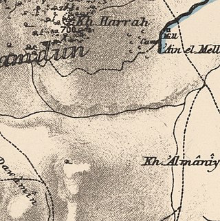
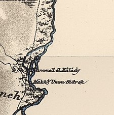 1870s map
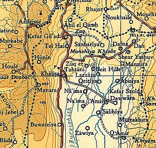
 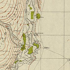 1940s map
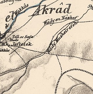
 modern map
  1940s with modern overlay map

