
Al-Nabi Rubin, was a Palestinian village located 28 kilometers northeast of Acre. Al-Nabi Rubin students used to attend school in the nearby village of Tarbikha.

Subbarin was a Palestinian Arab village located 28 kilometers south of Haifa. It was depopulated and destroyed during the 1948 Palestine war as part of the 1948 Palestinian expulsion and the Nakba.
Arab al-Bawati, was a Palestinian Arab village in the District of Baysan. It was depopulated during the 1948 Arab-Israeli War.

Al-Samiriyya, was a Palestinian Arab village in the District of Baysan. It was depopulated by the Israel Defense Forces during the 1948 Arab-Israeli War on May 27, 1948, as part of Operation Gideon. It was located 7 km southeast of Baysan.
Tall al-Shawk, was a Palestinian village in the District of Baysan. It was depopulated by the Israel Defense Forces during the 1947–1948 Civil War in Mandatory Palestine on May 12, 1948, as part of Operation Gideon. It was located five km west of Baysan between the al-Januna'in River to the north and Wadi al-Jawsaq to the south. The village was built above an ancient archeological site and granite columns remain.

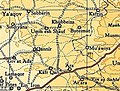
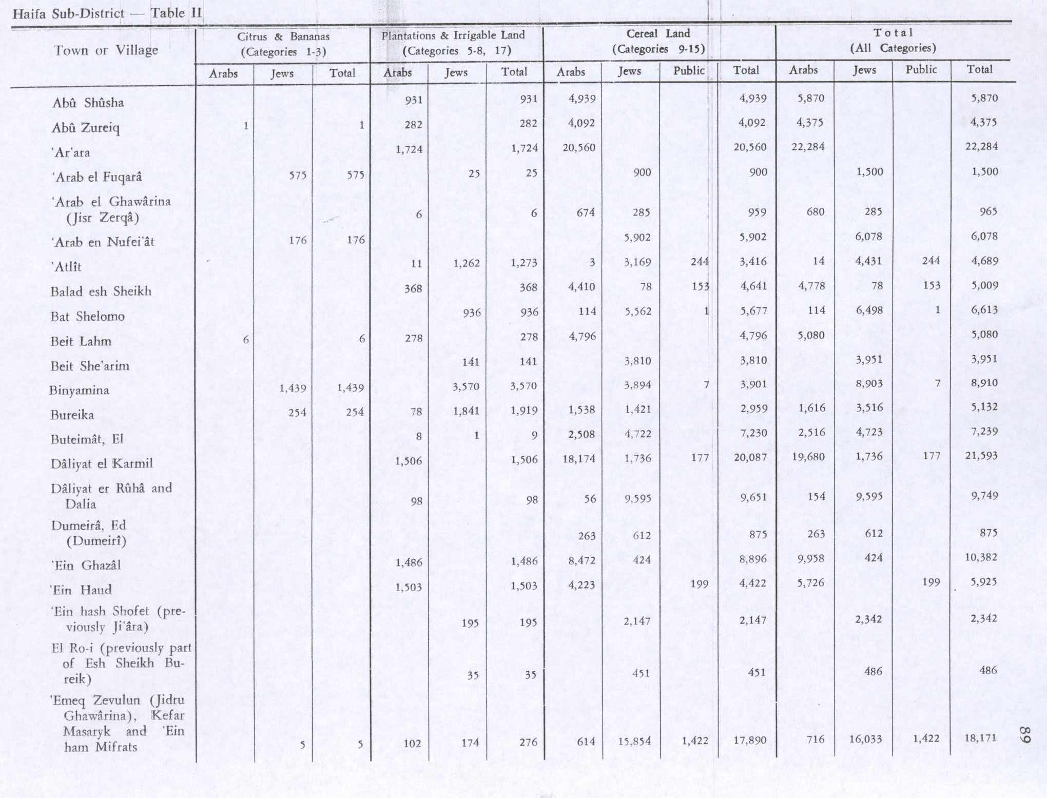
Arab al-Fuqara was a Palestinian Arab village in the Haifa Subdistrict. It was depopulated during the 1947–1948 Civil War in Mandatory Palestine on April 10, 1948. At that time, the land records of the village consisted of a total area of 2,714 dunams, of which 2,513 were owned by Jews, 15 owned by Arabs, and the remaining 186 dunams being public lands.

Burayka was a Palestinian Arab village in the Haifa Subdistrict. It was depopulated during the 1947–1948 Civil War in Mandatory Palestine on May 5, 1948. It was located 29 km south of Haifa.

Daliyat al-Rawha' was a Palestinian village located 24.5 kilometers (15.2 mi) southeast of Haifa. It was the site of the signing of a ceasefire agreement between the forces of the Mamluks and the Crusaders in the 13th century. A small village of 60 Arab Muslims in the late 19th century, the kibbutz of Dalia was established on land purchased in the village in 1939. The population in 1945 reached 600 people: 280 Arabs and 320 Jews. It was depopulated of its Arab inhabitants in late March during the 1947–1948 civil war in Mandatory Palestine. Its remains lie at the very center of the Ramat Menashe Park of the JNF covered by the kibbutz of the same name.

Al-Dumun was a Palestinian Arab village in the Haifa Subdistrict. It was depopulated during the 1947–1948 Civil War in Mandatory Palestine on April 30, 1948. It was located 10.5 km southeast of Haifa.
Al-Kafrayn was a Palestinian village in the Haifa Subdistrict. It was depopulated during the 1947–48 Civil War in Mandatory Palestine on 12 April 1948 as part of the Battle of Mishmar HaEmek. It was located 29.5 km southeast of Haifa.

Lid was a Palestinian village in the Haifa Subdistrict. It was depopulated during the 1948 Arab–Israeli War on April 9, 1948. It was 32 km southeast of Haifa.

Al-Rihaniyya was a Palestinian Arab village in the Haifa Subdistrict. It was depopulated during the 1947–1948 Civil War in Mandatory Palestine on 30 April 1948 as part of the battle of Mishmar HaEmek. It was located 25 km southeast of Haifa and 3 km northwest of Wadi al-Mileh.

Umm al-Shawf or Umm ash Shauf was a Palestinian Arab village located 29.5 km south of Haifa, on the sloping section of Wadi al-Marah. It was depopulated as a result of a military assault between May 12–14, just before the outbreak of the 1948 Arab-Israeli war.

Al-Sawalima was a Palestinian Arab village in the Jaffa Subdistrict. It was depopulated during the 1947–1948 Civil War in Mandatory Palestine on March 30, 1948. It was located 11 km northeast of Jaffa, situated 2 km north of the al-'Awja River.

Ayn al-Mansi was a Palestinian Arab village in the District of Jenin of the Mandatory Palestine. It was depopulated as a result of a military attack in mid-April during the 1947–48 Civil War in Mandatory Palestine.

Dayr Abu Salama was a small Palestinian Arab village in the Ramle Subdistrict, located 8 km northeast of Ramla. It was depopulated during the 1948 Arab–Israeli War on July 13, 1948, in the first phase of Operation Dani.

Al-Zuq al-Tahtani was a Palestinian Arab village in the Safad Subdistrict. It was depopulated during the 1947–1948 Civil War in Mandatory Palestine on May 11, 1948, by the Palmach's First Battalion of Operation Yiftach. It was located 30 km northeast of Safad.

Al-Qudayriyya was a Palestinian Arab village in the Safad Subdistrict. It was depopulated during the 1947–1948 Civil War in Mandatory Palestine on May 4, 1948, by the Haganah and the Palmach's First Battalion of Operation Matate, a sub-operation of Operation Yiftach. It was located 6.5 km south of Safad, situated 1 km east of Wadi al-'Amud.

Al-Sanbariyya was a Palestinian village in the Safad Subdistrict. It was depopulated during the 1947–1948 Civil War in Mandatory Palestine on May 1, 1948, by Palmach's First Battalion under Operation Yiftach. It was located 31.5 km northeast of Safad, near Wadi Hasibani.

Al-Manara was a Palestinian Arab village in the Tiberias Subdistrict. It was depopulated during the 1947–1948 Civil War in Mandatory Palestine on March 1, 1948, by Jewish troops. It was located 5 km south of Tiberias.
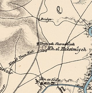
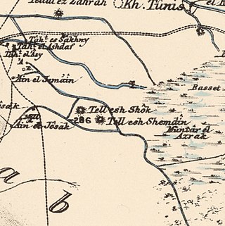
 1870s map
  1940s map
 modern map
 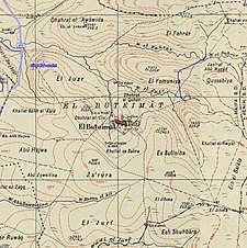 1940s with modern overlay map

