Buena Vista is a village in the Canadian province of Saskatchewan within the Rural Municipality of Lumsden No. 189 and Census Division No. 6. The village is located 40 km (25 mi) north-west of Regina, on the southern shore of Last Mountain Lake just off Highway 54. It is bounded to the west by Regina Beach, demarcated by 16 Street.
Arran is a special service area in the Canadian province of Saskatchewan within the Rural Municipality of Livingston No. 331 and Census Division No. 9. It held village status between 1916 and 2022.
Aylsham is a village in the Canadian province of Saskatchewan within the Rural Municipality of Nipawin No. 487 and Census Division No. 14. The village is approximately 65 km (40 mi) northeast of the city of Melfort.

The Rural Municipality of Fillmore No. 96 is a rural municipality (RM) in the Canadian province of Saskatchewan within Census Division No. 2 and SARM Division No. 1. It is located in the south-east portion of the province along Highway 33.
Halbrite is a village in the Canadian province of Saskatchewan within the Rural Municipality of Cymri No. 36 and Census Division No. 2. The village is located approximately 20 kilometres south-east of the city of Weyburn on Highway 39 at the intersections of Highway 606 and 705.
The Rural Municipality of Key West No. 70 is a rural municipality (RM) in the Canadian province of Saskatchewan within Census Division No. 2 and SARM Division No. 2. It is located in the southwest portion of the province.
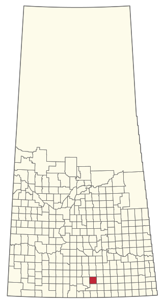
Creelman is a village in the Canadian province of Saskatchewan within the RM of Fillmore No. 96 and Census Division No. 2. The village lies 118 km southeast of the city of Regina, on Highway 33.

Disley is a village in the Canadian province of Saskatchewan within the Rural Municipality of Lumsden No. 189 and Census Division No. 6. It is located 18 km (11 mi) west of Lumsden just south of the Louis Riel Trail and 48 km (30 mi) northwest of the City of Regina.
Duff is a special service area in the Canadian province of Saskatchewan within the Rural Municipality of Stanley No. 215 and Census Division No. 5. It is approximately 122 kilometres (76 mi) north-east of the city of Regina, 66 kilometres (41 mi) south-west of Yorkton, and 20 kilometres (12 mi) west of Melville. The community is situated along Highway 10.
Duval is a village in the Canadian province of Saskatchewan within the Rural Municipality of Last Mountain Valley No. 250 and Census Division No. 11. The village is located on Highway 20, approximately 93 kilometres (58 mi) north of the city of Regina.
Fosston is a village in the Canadian province of Saskatchewan within the Rural Municipality of Ponass Lake No. 367 and Census Division No. 14. The village was named after Fosston, Minnesota, the original home of five Rustad brothers, who homesteaded there.
Hubbard is a village in the Canadian province of Saskatchewan within the Rural Municipality of Ituna Bon Accord No. 246 and Census Division No. 10.
Kelliher is a village in the Canadian province of Saskatchewan within the Rural Municipality of Kellross No. 247 and Census Division No. 10. The village is located about 140 km north of the City of Regina.
Lang is a village in the Canadian province of Saskatchewan within the Rural Municipality of Scott No. 98 and Census Division No. 2. The village is located approximately 70 km southeast of the City of Regina.
Leross or is a village in the Canadian province of Saskatchewan within the Rural Municipality of Kellross No. 247 and Census Division No. 10.
Minton is a village in the Canadian province of Saskatchewan within the Rural Municipality of Surprise Valley No. 9 and Census Division No. 2. It is on Highway 6 just north of its intersection with Highway 18, about 19 kilometres (12 mi) north of the Raymond-Regway Border Crossing on the Montana-Saskatchewan border. The village was named after Minton, Shropshire in England. The name was given by the Canadian Pacific Railway.

The Rural Municipality of Cambria No. 6 is a rural municipality (RM) in the Canadian province of Saskatchewan within Census Division No. 2 and SARM Division No. 1. Located in the southeast portion of the province, it is adjacent to the United States border, neighbouring Divide County in North Dakota.
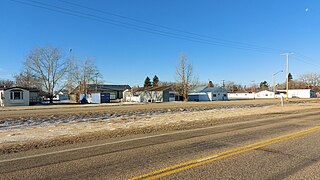
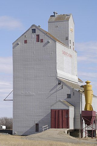
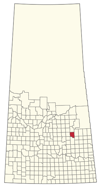
Osage is a village in the Canadian province of Saskatchewan within the Rural Municipality of Fillmore No. 96 and Census Division No. 2. The village is located on Highway 33, that runs south-east from Regina to Stoughton. The village has a grain elevator, post office, service station, and a two-sheet natural ice curling rink. Children from the area attend school in Fillmore, 13 km away. Osage celebrated its centennial in 2006.
Tobin Lake is a resort village in the Canadian province of Saskatchewan within Census Division No. 14. It is on the shores of Tobin Lake in the Rural Municipality of Moose Range No. 486. It is approximately 34 km (21 mi) northeast of Nipawin at the end of Highway 255, which is accessed via Highway 55.
The Rural Municipality of Sasman No. 336 is a rural municipality (RM) in the Canadian province of Saskatchewan within Census Division No. 10 and SARM Division No. 4.


