
Annaheim is a village in the Canadian province of Saskatchewan within the Rural Municipality of St. Peter No. 369 and Census Division No. 15. The village is located about 125 km east of the City of Saskatoon, at the junction of provincial Highway 756 and Highway 779. Annaheim hosts the offices of the Rural Municipality of St. Peter No. 369.

Delisle is a town in south central Saskatchewan, Canada. It is 45 kilometres (28 mi) southwest of Saskatoon beside Highway 7.
Landis is a village in the Canadian province of Saskatchewan within the Rural Municipality of Reford No. 379 and Census Division No. 13. The village is about 51 km (32 mi) south of Wilkie and about 128 km (80 mi) west from the City of Saskatoon on Highway 14. From 1907 to 1909, the post office at Section 23, Township 37, Range 18 west of the 3rd meridian, was known as Daneville. In 1925, Landis was a Canadian National Railway Station on the Grand Trunk Pacific Railway line.

Perdue is a village in the Canadian province of Saskatchewan within the Rural Municipality of Perdue No. 346 and Census Division No. 12. Perdue is approximately 60 km (37 mi) west of Saskatoon on Highway 14.

Simpson is a village in the Canadian province of Saskatchewan within the Rural Municipality of Wood Creek No. 281 and Census Division No. 11. It is between the cities of Regina and Saskatoon on Highway 2. The administrative office for the Rural Municipality of Wood Creek No. 281 is located in the village. The post office was founded in 1911 by Herman Bergren and Joseph Newman during construction of the Canadian Pacific Railway. It is named after George Simpson, a governor of the Hudson's Bay Company.

Lanigan is a town in south-central Saskatchewan, Canada, at the intersection of Trans-Canada Yellowhead Highway 16 and Highway 20, approximately 117 kilometres (73 mi) east of Saskatoon and 170 kilometres (110 mi) north of Regina.
Plenty is a village in the Canadian province of Saskatchewan within the Rural Municipality of Winslow No. 319 and Census Division No. 13. Plenty is located equidistant among Kindersley, Biggar, Kerrobert and Rosetown and approximately 150 kilometres southwest of the City of Saskatoon.
Saskatchewan Highway 7 is a major paved undivided provincial highway in the Canadian province of Saskatchewan, running from the Alberta border to Saskatoon. Highway 7 continues west into Alberta where it becomes Alberta Highway 9.
Pilger is a village in the Canadian province of Saskatchewan within the Rural Municipality of Three Lakes No. 400 and Census Division No. 15. It is approximately 100 km (62 mi) northeast of the City of Saskatoon.
The Rural Municipality of Abernethy No. 186 is a rural municipality (RM) in the Canadian province of Saskatchewan within Census Division No. 6 and SARM Division No. 1. It is located on the Qu'Appelle River.

The Rural Municipality of Vanscoy No. 345 is a rural municipality (RM) in the Canadian province of Saskatchewan within Census Division No. 12 and SARM Division No. 5. Located in the central portion of the province, it is southwest of the city of Saskatoon.
Debden is a village in the Canadian province of Saskatchewan within the Rural Municipality of Canwood No. 494 and Census Division No. 16. The village is located on Highway 55 and is 94 kilometres (58 mi) from the city of Prince Albert and 194 kilometres (121 mi) from the city of Saskatoon. It is also the administrative headquarters of the Big River Cree First Nations band government. The village is at the edge of the Prince Albert National Park and with all the lakes nearby it becomes a popular area in the summer months.

Belle Plaine is a village in the Canadian province of Saskatchewan within the Rural Municipality of Pense No. 160 and Census Division No. 6. Belle Plaine is located on Highway 1, 21 kilometres east of the City of Moose Jaw in south-central Saskatchewan. Buffalo Pound Provincial Park and Regina Beach are located near Belle Plaine.
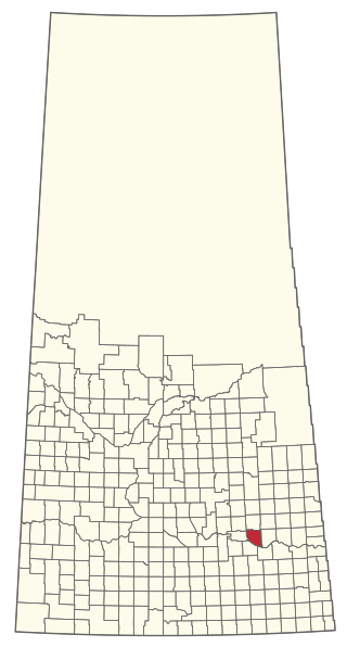
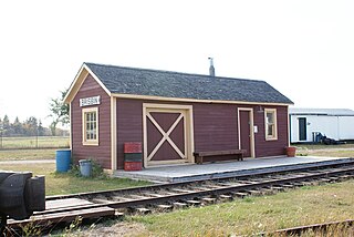
Heward is a village in the Canadian province of Saskatchewan within the Rural Municipality of Tecumseh No. 65 and Census Division No. 1. The village is located along highway 33 in southeastern Saskatchewan. Even though it has under 50 people it still maintains a post office, rink, and hall that all service the farming community. In 1977 Prairie Trails and Tales: Heward Saskatchewan 1900-1976 was written by Muriel Dempsey.

Kinley is a village in the Canadian province of Saskatchewan within the Rural Municipality of Perdue No. 346 and Census Division No. 12. The village of Kinley is located about 55 km west of the City of Saskatoon on Highway 14, between the communities of Perdue 10 km west and Asquith 17 km east.

Loreburn is a village in the Canadian province of Saskatchewan within the Rural Municipality of Loreburn No. 254 and Census Division No. 11. The village is about 16 kilometres (9.9 mi) north of Elbow and 16 kilometres (9.9 mi) south-east of Danielson Provincial Park, which is located near Gardiner Dam, Lake Diefenbaker.

Maymont is a village in the Canadian province of Saskatchewan within the Rural Municipality of Mayfield No. 406 and Census Division No. 16. It is 90 kilometres (56 mi) north-west of the city of Saskatoon.

Mortlach is a village in the Canadian province of Saskatchewan within the Rural Municipality of Wheatlands No. 163 and Census Division No. 7. The village is on the Trans Canada Highway about 40 km west of the City of Moose Jaw. Thunder Creek passes the community to the north where it is joined by Sandy Creek. Mortlach became a village on April 19, 1906, and is one of two towns in Saskatchewan to have been incorporated as a town to then be reverted to village status on January 1, 1949; the other is the village of Alsask.

Tessier is a village in the Canadian province of Saskatchewan within the Rural Municipality of Harris No. 316 and Census Division No. 12. The village is located approximately 60 km southwest of the City of Saskatoon on Highway 7.

