The Don River is a watercourse in southern Ontario that empties into Lake Ontario, at Toronto Harbour. Its mouth was just east of the street grid of the town of York, Upper Canada, the municipality that evolved into Toronto, Ontario. The Don is one of the major watercourses draining Toronto that have headwaters in the Oak Ridges Moraine.

Whitchurch-Stouffville is a town in the Greater Toronto Area of Ontario, Canada, approximately 50 km (31 mi) north of downtown Toronto, and 55 km (34 mi) north-east of Toronto Pearson International Airport. It is 206.22 km2 (79.62 sq mi) in area, and located in the mid-eastern area of the Regional Municipality of York on the ecologically-sensitive Oak Ridges Moraine. Its motto since 1993 is "country close to the city".

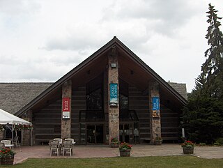
Science North is an interactive science museum in Greater Sudbury, Ontario, Canada.
Port Credit is a neighbourhood in the south-central part of the City of Mississauga, Ontario, Canada, located at the mouth of the Credit River on the north shore of Lake Ontario. Its main intersection is Hurontario Street and Lakeshore Road, about 0.6 kilometres (0.37 mi) east of the river. Until 1974, Port Credit was an incorporated town. Its approximate boundaries are the Canadian National Railway to the north, Seneca Avenue to the east and Shawnmarr Road to the west. It had a population of 10,260 at the 2001 census.
Kleinburg is an unincorporated village in the city of Vaughan, Ontario, Canada. It is home to the McMichael Canadian Art Collection, an art gallery with a focus on the Group of Seven, and the Kortright Centre for Conservation. In 2001, the village and its surrounding communities had a population of 4,595; the village itself has 282 dwellings, with a population of 952. Kleinburg comprises a narrow section of hilly landscape situated between two branches of the Humber River. The historic village is bounded by Highway 27 on the west and Stegman’s Mill Road to the east. Kleinburg has subsumed the nearby hamlet of Nashville, but it has not itself been fully subsumed into the main urban area of Vaughan.
King City is an unincorporated Canadian community in the township of King, Ontario, located 40 kilometres (25 mi) north of Toronto. It is the largest community in King township, with 2,730 dwellings and a population of 8,396 as of the 2021 Canadian census.

Boyd Conservation Area is a suburban land preserve owned and operated by the Toronto and Region Conservation Authority in the city of Vaughan, Regional Municipality of York, Ontario, Canada. It also overlaps a life science Area of Natural and Scientific Interest of the same name.

Saint-Quentin is a town in northern New Brunswick, Canada.

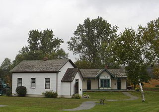
Ball's Falls also known as Balls Mills, Louthe Mills and Glen Elgin, is a historical ghost town located in what is now a part of Jordan in the Niagara region, Ontario, Canada, which dates back to the early 19th century. It is now preserved as a conservation area operated by the Niagara Peninsula Conservation Authority.
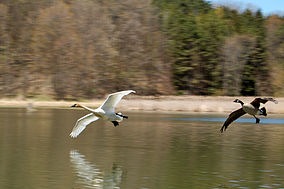
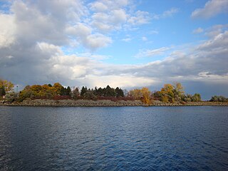
The Toronto and Region Conservation Authority (TRCA) is a conservation authority in southern Ontario, Canada. It owns about 16,000 hectares of land in the Toronto region, and it employs more than 400 full-time employees and coordinates more than 3,000 volunteers each year. TRCA's area of jurisdiction is watershed-based and includes 3,467 square kilometres (1,339 sq mi) – 2,506 on land and 961 water-based in Lake Ontario. This area comprises nine watersheds from west to east – Etobicoke Creek, Mimico Creek, Humber River, Don River, Highland Creek, Petticoat Creek, Rouge River, Duffins Creek and Carruthers Creek.

Bronte Creek Provincial Park is located in Oakville, Ontario, Canada, and is part of the Ontario Parks system.
Lakeview is a neighbourhood in Mississauga in the Region of Peel, just east of Port Credit, which amalgamated into the Town of Mississauga in 1968. It is located in the extreme southeastern corner of the city, along the northern shores of Lake Ontario.
Rouge National Urban Park is a national urban park in Ontario, Canada. The park is centred around the Rouge River and its tributaries in the Greater Toronto Area. The southern portion of the park is situated around the mouth of river in Toronto, and extends northwards into Markham, Pickering, Uxbridge, and Whitchurch-Stouffville.

Humber Bay is a bay of Lake Ontario south of Toronto, Ontario, Canada. It is located between Ontario Place on the east and Mimico Creek to the west. The bay gives its name to Etobicoke's Humber Bay neighbourhood.

The Lake Simcoe Region Conservation Authority is a conservation authority established in 1951, and is among the oldest in the Canadian province of Ontario.
Elmvale is a rural town in Springwater Township, Ontario, Canada. It is located at the intersection of County Road 27 and County Road 92, 20 minutes north of Barrie. Elmvale is home to 2,314 people, as of 2016.

Brooke-Alvinston is a township municipality in the Canadian province of Ontario, located within Lambton County. It was formed on January 1, 2001, when the Township of Brooke was amalgamated with the Village of Alvinston.
Albion Hills Conservation Area (AHCA) is located in the Town of Caledon within the Regional Municipality of Peel. AHCA is located eight kilometers north of Bolton, off of Highway 50 at 16500 Highway 50, Palgrave, Ontario. It is owned and managed by the Toronto and Region Conservation Authority (TRCA). AHCA sees about 120,000 visitors each year, who visit the conservation area for mountain biking, camping, swimming, special events, cross-country skiing and more.

Bruce's Mill Conservation Area (BMCA) is a conservation area located off Stouffville Road in the town of Whitchurch–Stouffville, Regional Municipality of York, Canada. The conservation area is about 108 hectares in size. BMCA is home to a diverse ecosystem, including 1.2 hectares of wetlands and 44 hectares of deciduous, coniferous and mixed forest. It is owned and managed by the Toronto and Region Conservation Authority (TRCA).

Heart Lake Conservation Area (HLCA) occupies 169 hectares in the Etobicoke Creek watershed, within the City of Brampton, Ontario. It is owned and managed by the Toronto and Region Conservation Authority (TRCA).