It has been suggested that this article be merged into List of counties in Colorado . (Discuss) Proposed since June 2025. |
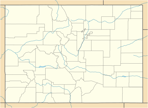
The 64 counties of the U.S. State of Colorado.
This list ranks the 64 counties of the U.S. State of Colorado [1] by population as of July 1, 2024, as estimated by the United States Census Bureau. [a] This list also details the county population changes since the 2000 United States Census. [3]
Contents
El Paso County with a 2024 population estimate of 752,772 remains the most populous county in Colorado, while Hinsdale County with a 2024 population of 747 is now the least populous county. Five of the 64 Colorado counties have more than 500,000 residents, while 12 have fewer than 5,000 residents. [a]