The following outline is provided as an overview of and topical guide to Kerala:
Contents
- General reference
- Names
- Rankings (amongst India's states)
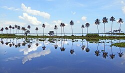
- Geography
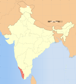
- Location of Kerala
- Environment of Kerala
- Administrative divisions
- Districts
- Local governments
- Demographics
- Government and politics of Kerala
- Branches of the government of Kerala
- Law and order in Kerala
- History of Kerala
- History of Kerala, by period
- History of Kerala, by region
- History of Kerala, by cities
- History of Kerala, by subject
- Culture of Kerala
- Art in Kerala
- Festivals in Kerala
- Language in Kerala
- People of Kerala
- Religion in Kerala
- Sports in Kerala
- Symbols of Kerala
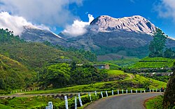
- Tourism
- Economy and infrastructure of Kerala
- Education in Kerala
- References
- External links
Kerala – 21st biggest, 12th most populous, 13th highest and most literate of the 28 states of the democratic Republic of India. Kerala is ranked 9th in the country in tax revenue and GDP. Kerala has the highest life expectancy and female-to-male sex ratio in India. Kerala is also the most media exposed state.