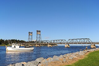
The Clyde River is an open intermediate tide-dominated drowned valley estuary or perennial river that flows into the Tasman Sea at Batemans Bay, located in the South Coast region of New South Wales, Australia.

The Moruya River is an open and trained mature wave dominated barrier estuary or tidal river is located in the South Coast region of New South Wales, Australia. In its upper freshwater reaches, the river is known as the Deua River.

Myall River, an open semi-mature brackish freshwater barrier estuary of the Mid-Coast Council system, is located in the Mid North Coast region of New South Wales, Australia.

Brunswick River is an open mature wave dominated barrier estuary, located in the Northern Rivers region of New South Wales, Australia.

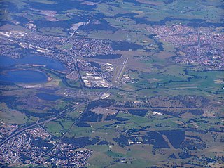
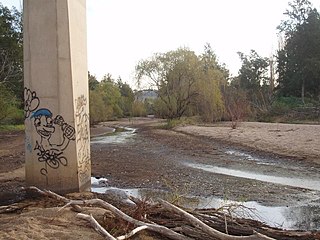
Macquarie Rivulet is a perennial river located in the Southern Highlands and Illawarra regions of New South Wales, Australia.

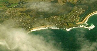
The Minnamurra River, an open mature wave dominated barrier estuary, is located in the Illawarra region of New South Wales, Australia.

Karuah River, an open semi-mature tide dominated drowned valley estuary is located in the Mid North Coast and Hunter regions of New South Wales, Australia.

Bermagui River is an open and trained semi-mature wave dominated barrier estuary or perennial river located in the South Coast region of New South Wales, Australia.
The Merrica River is an intermediate intermittently closed saline coastal lagoon or perennial river located in the South Coast region of New South Wales, Australia.
Murrah River is an open mature wave dominated barrier estuary or perennial river located in the South Coast region of New South Wales, Australia.
The Tomaga River, an open mature wave dominated barrier estuary or perennial stream, is located in the South Coast region of New South Wales, Australia.
The Towamba River is an open mature wave dominated barrier estuary or perennial river, located in the South Coast region of New South Wales, Australia.

The Tuross River, an open semi-mature wave dominated barrier estuary or perennial stream, is located in the South Coast region of New South Wales, Australia.
The Wonboyn River, an open youthful wave dominated barrier estuary or perennial stream, is located in the South Coast region of New South Wales, Australia.
Wooli Wooli River, an open and trained mature wave dominated, barrier estuary, is located in the Northern Rivers region of New South Wales, Australia.

The Bega River is an intermittently open intermediate wave dominated barrier estuary that is located in the South Coast region of New South Wales, Australia.
The Blue Mountain Creek, an intermittent stream that is part of the Macleay River catchment, is located in the Northern Tablelands region of New South Wales, Australia.
The Commissioners Waters, a watercourse that is part of the Macleay River catchment, is located in the Northern Tablelands region of New South Wales, Australia.
Blackwater Creek, a perennial stream of the Hunter River catchment, is located in the Hunter region of New South Wales, Australia.
Cedar Party Creek, a perennial stream of the Manning River catchment, is located in the Mid North Coast region of New South Wales, Australia.


