Bongeen, Queensland

Last updated

Bongeen
Queensland
Australia Queensland location map.svg
Red pog.svg
Bongeen
Coordinates 27°31′12″S151°27′12″E / 27.52°S 151.4533°E / -27.52; 151.4533 Coordinates: 27°31′12″S151°27′12″E / 27.52°S 151.4533°E / -27.52; 151.4533
Population75 (2016 census) [1]
 • Density0.670/km2 (1.734/sq mi)
Postcode(s) 4356
Area112.0 km2 (43.2 sq mi)
Time zone AEST (UTC+10:00)
LGA(s) Toowoomba Region
State electorate(s) Condamine
Federal division(s) Groom
Suburbs around Bongeen:
West Prairie Mount Moriah Evanslea
Norwin Bongeen Mount Tyson
Branchview Brookstead
St Helens
Irongate

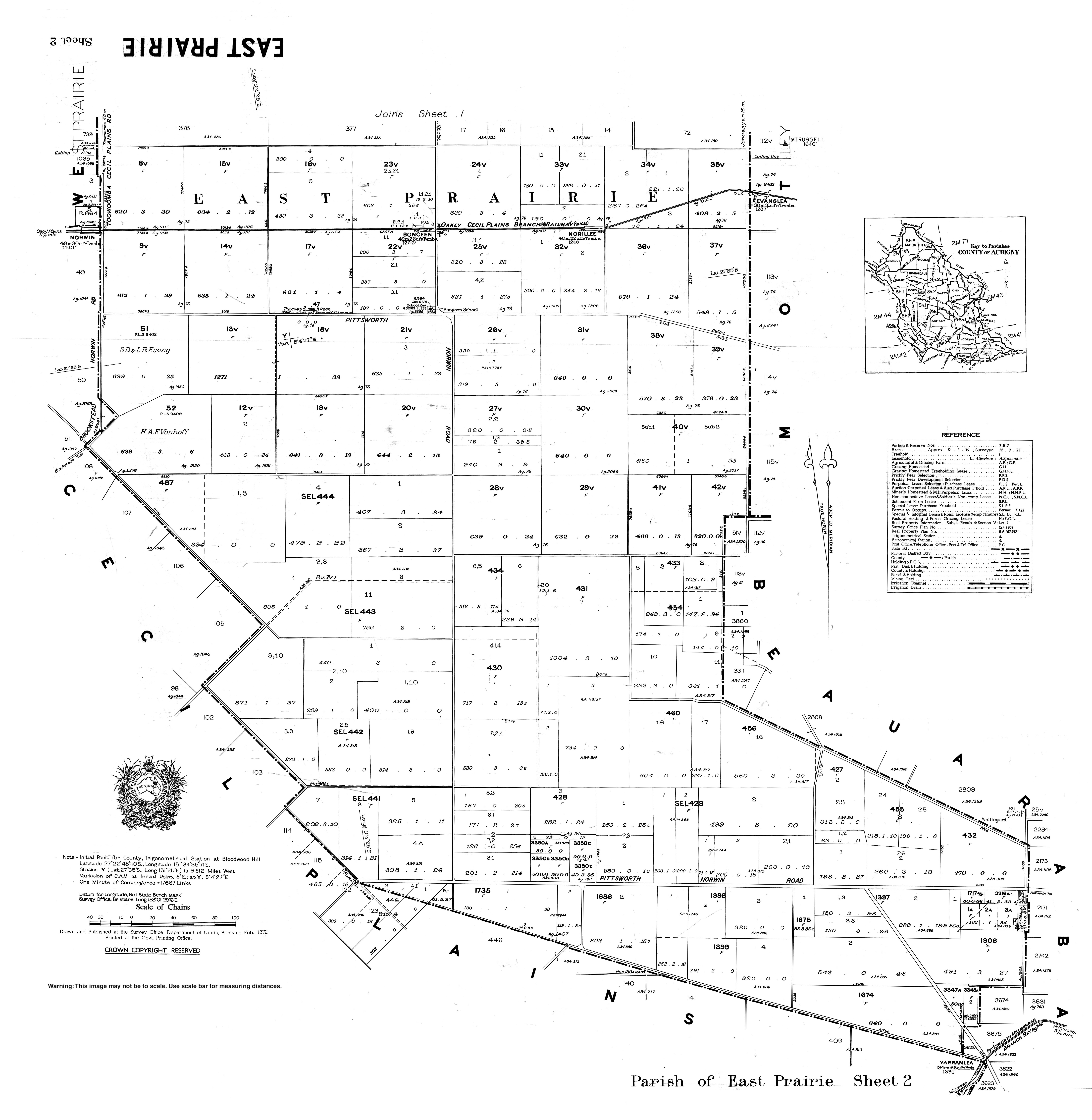
Bongeen is a rural locality in the Toowoomba Region, Queensland, Australia. [2] In the 2016 census, Bongeen had a population of 75 people. [1]

Contents

Geography

The now-closed Cecil Plains railway line passed through the locality. There were two railway stations within the locality on the line (both abandoned): [3] [4]

The Toowoomba–Cecil Plains Road runs through from east to west. [5]

History

Bongeen State School opened on 4 May 1939. [6] It was mothballed on 31 December 2005 and closed on 31 December 2006. [7]

Related Research Articles

Gowrie Junction is a rural locality in the Toowoomba Region, Queensland, Australia. It is north-west of Toowoomba. In the 2016 census, Gowrie Junction had a population of 2,120 people. The town of Gowrie is in the eastern part of the locality.

Millmerran, Queensland Town in Queensland, Australia

Millmerran, known as Domville between 1 June 1889 and 16 November 1894, is a town and a locality in the Toowoomba Region, Queensland, Australia. In the 2016 census, Millmerran had a population of 1,563 people.

Cecil Plains is a rural town and locality in the Toowoomba Region, Queensland, Australia. In the 2016 census, Cecil Plains had a population of 429 people.

Wyreema is a rural town and locality in the Toowoomba Region, Queensland, Australia. In the 2016 census, the locality of Wyreema had a population of 1,834 people.

Kingsthorpe, Queensland Town in Queensland, Australia

Kingsthorpe is a rural town and locality in the Toowoomba Region, Queensland, Australia. In the 2016 census, the locality of Kingsthorpe had a population of 1,867 people.

Wellcamp, Queensland Suburb of Toowoomba Region, Queensland, Australia

Wellcamp is a rural locality in the Toowoomba Region, Queensland, Australia. In the 2016 census, Wellcamp had a population of 295 people.

Mount Tyson, Queensland Town in Queensland, Australia

Mount Tyson is a rural town and locality in the Toowoomba Region, Queensland, Australia. In the 2016 census, Mount Tyson had a population of 285 people.

Aubigny, Queensland Town in Queensland, Australia

Aubigny is a rural town and locality in the Toowoomba Region, Queensland, Australia. In the 2016 census, Aubigny had a population of 254 people.

Pampas, Queensland Suburb of Toowoomba Region, Queensland, Australia

Pampas is a rural locality in the Toowoomba Region, Queensland, Australia. In the 2016 census, Pampas had a population of 62 people.

Motley, Queensland Suburb of Toowoomba Region, Queensland, Australia

Motley is a rural locality in the Toowoomba Region, Queensland, Australia. In the 2016 census, Motley had a population of 9 people.

Spring Creek, Queensland (Darling Downs) Suburb of Toowoomba Region, Queensland, Australia

Spring Creek is a rural locality split between the Toowoomba Region and the Southern Downs Region, Queensland, Australia. In the 2016 census, Spring Creek had a population of 194 people.

Evanslea is a rural locality in the Toowoomba Region, Queensland, Australia. In the 2016 census Evanslea had a population of 41 people.

Brookstead, Queensland Town in Queensland, Australia

Brookstead is a rural town and locality in the Toowoomba Region, Queensland, Australia. In the 2016 census, Brookstead had a population of 217 people.

Kelvinhaugh is a rural locality in the Toowoomba Region, Queensland, Australia. In the 2016 census Kelvinhaugh had a population of 44 people.

Nangwee is a rural town and locality in the Toowoomba Region, Queensland, Australia. In the 2016 census the locality of Nangwee had a population of 52 people.

Norwin is a rural locality in the Toowoomba Region, Queensland, Australia. In the 2016 census Norwin had a population of 94 people.

Tipton is a rural locality in the Toowoomba Region, Queensland, Australia. In the 2016 census Tipton had a population of 39 people.

Yargullen is a rural locality in the Toowoomba Region, Queensland, Australia. In the 2016 census Yargullen had a population of 25 people.

Turallin is a town and a locality in the Toowoomba Region, Queensland, Australia. In the 2016 census, Turallin had a population of 65 people.

Toowoomba–Cecil Plains Road is a continuous 78.6 kilometres (48.8 mi) road route in the Toowoomba region of Queensland, Australia. Most of the road is not signed with any route number, but a short section near Cecil Plains is part of State Route 82. Toowoomba–Cecil Plains Road is a state-controlled district road, part of which is rated as a local road of regional significance (LRRS).

References

  1. 1 2 Australian Bureau of Statistics (27 June 2017). "Bongeen (SSC)". 2016 Census QuickStats. Retrieved 20 October 2018. OOjs UI icon edit-ltr-progressive.svg
  2. "Bongeen – locality in Toowoomba Region (entry 47893)". Queensland Place Names. Queensland Government . Retrieved 25 October 2019.
  3. "Railway stations and sidings - Queensland". Queensland Open Data. Queensland Government. 2 October 2020. Archived from the original on 5 October 2020. Retrieved 5 October 2020.
  4. "Queensland Globe". State of Queensland . Retrieved 31 December 2020.
  5. Google (13 February 2022). "Bongeen" (Map). Google Maps . Google. Retrieved 13 February 2022.
  6. Queensland Family History Society (2010), Queensland schools past and present (Version 1.01 ed.), Queensland Family History Society, ISBN   978-1-921171-26-0
  7. "Queensland state school - centre closures" (PDF). Queensland Government . 20 August 2013. Archived (PDF) from the original on 20 March 2022. Retrieved 6 April 2022.