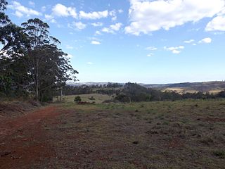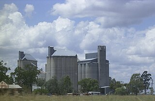
Cranley is a rural locality in the Toowoomba Region, Queensland, Australia. In the 2016 census, Cranley had a population of 1446 people.

East Greenmount is a rural town and locality in the Toowoomba Region, Queensland, Australia. In the 2016 census the locality of East Greenmount had a population of 361 people.

Ascot is a rural locality in the Toowoomba Region, Queensland, Australia. In the 2016 census, Ascot had a population of 31 people.

Ravensbourne is a rural locality in the Toowoomba Region, Queensland, Australia. In the 2016 census Ravensbourne had a population of 248 people.

Grapetree is a rural locality in the Toowoomba Region, Queensland, Australia. In the 2016 census Grapetree had a population of 32 people.

Anduramba is a rural locality in the Toowoomba Region, Queensland, Australia. In the 2016 census, Anduramba had a population of 77 people.

Canning Creek is a rural locality split between the Goondiwindi Region and the Toowoomba Region in Queensland, Australia. In the 2016 census, Canning Creek had a population of 5 people.

Brookstead is a rural town and locality in the Toowoomba Region, Queensland, Australia. In the 2016 census, Brookstead had a population of 217 people.

Pierces Creek is a rural locality in the Toowoomba Region, Queensland, Australia. It was formerly known as Virginia. In the 2016 census, Pierces Creek had a population of 70 people.

Cherry Creek is a rural locality in the Toowoomba Region, Queensland, Australia. In the 2016 census Cherry Creek had a population of 49 people.>

Googa Creek is a rural locality in the Toowoomba Region, Queensland, Australia. In the 2016 census Googa Creek had a population of 43 people.

Douglas is a locality in the Toowoomba Region, Queensland, Australia. In the 2016 census, Douglas had a population of 112 people.

Western Creek is a locality in the Toowoomba Region, Queensland, Australia. In the 2016 census, Western Creek had a population of 15 people.

Bulli Creek is a locality in the Toowoomba Region, Queensland, Australia. In the 2016 census, Bulli Creek had a population of 6 people.

Wattle Ridge is a locality in the Toowoomba Region, Queensland, Australia. In the 2016 census, Wattle Ridge had a population of 36 people.

Cressbrook Creek is a rural locality in the Toowoomba Region, Queensland, Australia. In the 2016 census, Cressbrook Creek had a population of 20 people.

Doctor Creek is a rural locality in the Toowoomba Region, Queensland, Australia. In the 2016 census, Doctor Creek had a population of 37 people.

Upper Cooyar Creek is a rural locality in the Toowoomba Region, Queensland, Australia. In the 2016 census, Upper Cooyar Creek had a population of 17 people.

Emu Creek is a rural locality in the Toowoomba Region, Queensland, Australia. In the 2016 census, Emu Creek had a population of 80 people.

Merritts Creek is a rural locality in the Toowoomba Region, Queensland, Australia. In the 2016 census, Merritts Creek had a population of 88 people.


