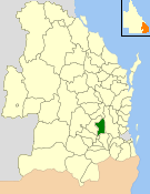
The Shire of Crows Nest was a local government area in the Darling Downs region of Queensland, Australia, immediately northeast of the regional city of Toowoomba. The shire, administered from the town of Crows Nest, covered an area of 1,629.9 square kilometres (629.3 sq mi), and existed as a local government entity from 1913 until 2008, when it amalgamated with several other councils in the Toowoomba area to form the Toowoomba Region. Its growth in later years has been fuelled by the expansion of Toowoomba, particularly the suburbs of Highfields and Blue Mountain Heights which, with a combined population of 7,333 in 2006, were home to over half the shire's population.

Highfields is a town and locality in the Toowoomba Region, Queensland, Australia. In the 2021 census, the locality of Highfields had a population of 8,568 people.
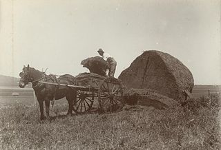
Kingsthorpe is a rural town and locality in the Toowoomba Region, Queensland, Australia. In the 2021 census, the locality of Kingsthorpe had a population of 2,159 people.

Cabarlah is a rural town and locality in the Toowoomba Region, Queensland, Australia. In the 2016 census the locality of Cabarlah had a population of 1,075 people.

Middle Ridge is a residential locality of Toowoomba in the Toowoomba Region, Queensland, Australia. In the 2021 census, Middle Ridge had a population of 7,595 people.

Rockville is a residential locality in the Toowoomba Region, Queensland, Australia. In the 2021 census, Rockville had a population of 3,204 people.

Geham is a rural locality in the Toowoomba Region, Queensland, Australia. In the 2021 census, Geham had a population of 470 people.

Southbrook is a rural town and locality in the Toowoomba Region, Queensland, Australia. In the 2021 census, the locality of Southbrook had a population of 626 people.

Perseverance is a rural locality in the Toowoomba Region, Queensland, Australia. In the 2021 census, Perseverance had a population of 72 people.

Groomsville is a rural locality in the Toowoomba Region on the Darling Downs, Queensland, Australia. In the 2021 census, Groomsville had a population of 132 people.

Glencoe is a rural locality in the Toowoomba Region, Queensland, Australia. In the 2021 census, Glencoe had a population of 304 people.

Gowrie Little Plain is a rural locality in the Toowoomba Region, Queensland, Australia. In the 2021 census, Gowrie Little Plain had a population of 79 people.

Meringandan West is a rural locality in the Toowoomba Region, Queensland, Australia. In the 2021 census, Meringandan West had a population of 2,488 people.
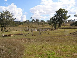
Bergen is a rural locality in the Toowoomba Region, Queensland, Australia. In the 2021 census, Bergen had a population of 85 people.
Norwin is a rural locality in the Toowoomba Region, Queensland, Australia. In the 2016 census, Norwin had a population of 94 people.
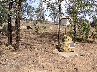
Douglas is a rural locality in the Toowoomba Region, Queensland, Australia. In the 2021 census, Douglas had a population of 152 people.
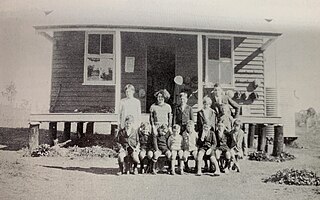
Muniganeen is a rural locality in the Toowoomba Region, Queensland, Australia. In the 2021 census, Muniganeen had a population of 40 people.
Kings Siding is a rural locality in the Toowoomba Region, Queensland, Australia. In the 2021 census, Kings Siding had a population of 15 people.
Doctor Creek is a rural locality in the Toowoomba Region, Queensland, Australia. In the 2021 census, Doctor Creek had a population of 28 people.
Glenaven is a rural locality in the Toowoomba Region, Queensland, Australia. In the 2021 census, Glenaven had a population of 68 people.


