Wyreema is a rural town and locality in the Toowoomba Region, Queensland, Australia. In the 2016 census, the locality of Wyreema had a population of 1,834 people.

Cooyar is a rural town and locality in the Toowoomba Region, Queensland, Australia. In the 2016 census, Cooyar had a population of 224 people.
Blue Mountain Heights is a residential locality in the Toowoomba Region, Queensland, Australia. In the 2016 census, Blue Mountain Heights had a population of 929 people.
Cranley is a rural locality in the Toowoomba Region, Queensland, Australia. In the 2016 census Cranley had a population of 1,446 people.
Torrington is a rural locality in Toowoomba in the Toowoomba Region, Queensland, Australia. In the 2021 census, Torrington had a population of 1,070 people.

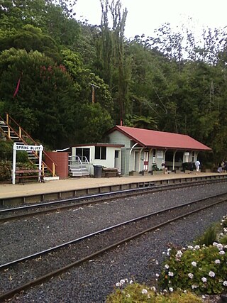
Spring Bluff is a rural locality in the Toowoomba Region, Queensland, Australia. In the 2016 census Spring Bluff had a population of 6 people.

Ascot is a rural locality in the Toowoomba Region, Queensland, Australia. In the 2016 census, Ascot had a population of 31 people.

Mount Irving is a rural locality in the Toowoomba Region, Queensland, Australia. In the 2016 census, Mount Irving had a population of 15 people.
Clontarf is a rural locality in the Toowoomba Region, Queensland, Australia. In the 2021 census, Clontarf had a population of 28 people.
Evanslea is a rural locality in the Toowoomba Region, Queensland, Australia. In the 2016 census Evanslea had a population of 41 people.

Brookstead is a rural town and locality in the Toowoomba Region, Queensland, Australia. In the 2016 census, Brookstead had a population of 217 people.
Cawdor is a rural locality in the Toowoomba Region, Queensland, Australia.
Nangwee is a rural town and locality in the Toowoomba Region, Queensland, Australia. In the 2016 census the locality of Nangwee had a population of 52 people.
Plainby is a rural locality in the Toowoomba Region, Queensland, Australia. In the 2016 census, Plainby had a population of 44 people.
Yargullen is a rural locality in the Toowoomba Region, Queensland, Australia. In the 2016 census Yargullen had a population of 25 people.
Upper Pilton is a locality split between the Toowoomba Region and the Southern Downs Region, both in Queensland, Australia. In the 2016 census Upper Pilton had a population of 63 people.
Turallin is a rural town and locality in the Toowoomba Region, Queensland, Australia. In the 2021 census, the locality of Turallin had a population of 64 people.
Kings Siding is a rural locality in the Toowoomba Region, Queensland, Australia. In the 2021 census, Kings Siding had a population of 15 people.
East Cooyar is a rural locality in the Toowoomba Region, Queensland, Australia. In the 2016 census, East Cooyar had a population of 26 people.
Narko is a rural locality in the Toowoomba Region, Queensland, Australia. In the 2016 census, Narko had a population of 18 people.


