
Greenmount is a rural town and locality in the Toowoomba Region, Queensland, Australia. In the 2016 census the locality of Greenmount had a population of 699 people.

Cecil Plains is a rural town and locality in the Toowoomba Region, Queensland, Australia. In the 2016 census, Cecil Plains had a population of 429 people.
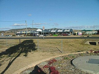
Wyreema is a town and a locality in the Toowoomba Region, Queensland, Australia. At the 2016 census, Wyreema had a population of 1,834.
Centenary Heights is a residential locality in Toowoomba within the Toowoomba Region, Queensland, Australia. In the 2016 census, Centenary Heights had a population of 6,063 people.
Charlton is a rural locality in the Toowoomba Region, Queensland, Australia, located 13 kilometres (8 mi) west from the Toowoomba city centre off the Warrego Highway. In the 2016 census, Charlton had a population of 120 people.

Wellcamp is a rural locality in Toowoomba Region, Queensland, Australia, located 16 kilometres (10 mi) west of the city centre. At the 2016 census, Wellcamp recorded a population of 295.
Wilsonton Heights is a residential locality of Toowoomba in the Toowoomba Region, Queensland, Australia. In the 2016 census, Wilsonton Heights had a population of 2,669 people.

Harlaxton is a locality in the Toowoomba Region, Queensland, Australia. In the 2016 census, Harlaxton had a population of 2,547 people. Traditionally a rural area, most of the locality is now residential.

Middle Ridge is a residential locality of Toowoomba in the Toowoomba Region, Queensland, Australia. In the 2016 census, Middle Ridge had a population of 7,141 people.
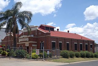
North Toowoomba is an urban locality in Toowoomba in the Toowoomba Region, Queensland, Australia. In the 2016 census, North Toowoomba had a population of 2,953 people.
Rockville is a residential locality in the Toowoomba Region, Queensland, Australia. In the 2016 census, Rockville had a population of 3,237 people.

South Toowoomba is an urban locality in Toowoomba in the Toowoomba Region, Queensland, Australia. In the 2016 census, South Toowoomba had a population of 5,224 people.
Applethorpe is a rural town and locality in the Southern Downs Region, Queensland, Australia. It is on the border with New South Wales. In the 2016 census, Applethorpe had a population of 511 people. Applethorpe is well known for the production of apples.
Westbrook is a town and locality in Toowoomba Region, Queensland, Australia. In the 2016 census, the town recorded a population of 3,885.

Biddeston is a rural town and locality in the Toowoomba Region, Queensland, Australia. In the 2016 census, Biddeston had a population of 284 people.

Ascot is a rural locality in the Toowoomba Region, Queensland, Australia. In the 2016 census, Ascot had a population of 31 people.

Brookstead is a rural town and locality in the Toowoomba Region, Queensland, Australia. In the 2016 census, Brookstead had a population of 217 people.
Murrays Bridge is a rural locality in the Southern Downs Region, Queensland, Australia. In the 2016 census Murrays Bridge had a population of 103 people.
Silverleigh is a rural locality in the Toowoomba Region, Queensland, Australia. In the 2016 census Silverleigh had a population of 71 people.
Fletcher is a rural locality in the Southern Downs Region, Queensland, Australia. In the 2016 census, Fletcher had a population of 92 people.
