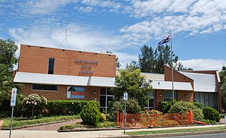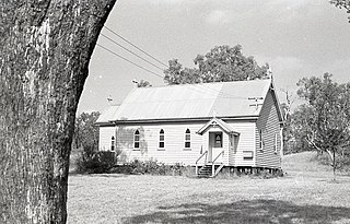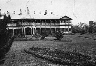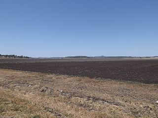
Inglewood is a rural town and locality in the Goondiwindi Region, Queensland, Australia. In the 2021 census, the locality of Inglewood had a population of 936 people.

Drayton is a rural locality in the Toowoomba Region, Queensland, Australia. In the 2021 census, Drayton had a population of 1,813 people.

Clifton is a rural town and locality in the Toowoomba Region, Queensland, Australia. In the 2021 census, the locality of Clifton had a population of 1,490 people.
Gowrie Junction is a rural locality in the Toowoomba Region, Queensland, Australia. It is north-west of Toowoomba. The town of Gowrie is in the eastern part of the locality. In the 2021 census, Gowrie Junction had a population of 2,242 people.

Allora is a rural town and locality in the Southern Downs Region, Queensland, Australia. In the 2021 census, the locality of Allora had a population of 1,205 people.

Millmerran, known as Domville between 1 June 1889 and 16 November 1894, is a town and a locality in the Toowoomba Region, Queensland, Australia. In the 2021 census, the locality of Millmerran had a population of 1,545 people.

Cecil Plains is a rural town and locality in the Toowoomba Region, Queensland, Australia. In the 2021 census, the locality of Cecil Plains had a population of 380 people.

Leyburn is a rural town in the Southern Downs Region and a locality split between the South Downs Region and the Toowoomba Region in Queensland, Australia. In the 2021 census, the locality of Leyburn had a population of 566 people.

Karara is a rural town and locality in the Southern Downs Region, Queensland, Australia. In the 2021 census, the locality of Karara had a population of 128 people.

Bowenville is a rural town and locality in the Toowoomba Region, Queensland, Australia. The town's economy rested on the rail industry and with the winding down of the railways the population declined. In the 2021 census, the locality of Bowenville had a population of 219 people.

Mount Lofty is a residential locality on the north-eastern edge of the suburban area of Toowoomba, in the Toowoomba Region, Queensland, Australia. In the 2021 census, Mount Lofty had a population of 3,825 people.

Newtown is a residential locality in Toowoomba in the Toowoomba Region, Queensland, Australia. In the 2021 census, Newtown had a population of 10,039 people.

Geham is a rural locality in the Toowoomba Region, Queensland, Australia. In the 2021 census, Geham had a population of 470 people.

Jondaryan is a rural town and locality in the Toowoomba Region, Queensland, Australia. In the 2021 census, the locality of Jondaryan had a population of 414 people.

Mount Tyson is a rural town and locality in the Toowoomba Region, Queensland, Australia. In the 2021 census, the locality of Mount Tyson had a population of 280 people.

Gowrie Little Plain is a rural locality in the Toowoomba Region, Queensland, Australia. In the 2021 census, Gowrie Little Plain had a population of 79 people.
Back Plains is a rural locality in the Toowoomba Region, Queensland, Australia. In the 2021 census, Back Plains had a population of 104 people.

Bongeen is a rural locality in the Toowoomba Region, Queensland, Australia. In the 2021 census, Bongeen had a population of 71 people.
Ducklo is a locality in the Western Downs Region, Queensland, Australia. In the 2021 census, Ducklo had a population of 306 people.

Yarranlea is a rural locality in the Toowoomba Region, Queensland, Australia. In the 2021 census, Yarranlea had a population of 82 people.


