Perry County | |
|---|---|
 Perry County Courthouse New Augusta | |
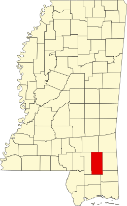 Location within the U.S. state of Mississippi | |
 Mississippi's location within the U.S. | |
| Coordinates: 31°10′N88°59′W / 31.17°N 88.99°W | |
| Country | |
| State | |
| Founded | 1820 |
| Named after | Oliver Hazard Perry |
| Seat | New Augusta |
| Largest town | Richton |
| Area | |
• Total | 650 sq mi (1,700 km2) |
| • Land | 647 sq mi (1,680 km2) |
| • Water | 3.0 sq mi (8 km2) 0.5% |
| Population (2020) | |
• Total | 11,511 |
| • Density | 18/sq mi (6.8/km2) |
| Time zone | UTC−6 (Central) |
| • Summer (DST) | UTC−5 (CDT) |
| Congressional district | 4th |
Perry County is a county located in the U.S. state of Mississippi. As of the 2020 census, the population was 11,511. [1] The county seat is New Augusta. [2] The county is named after the War of 1812 naval hero, Oliver Hazard Perry.
Contents
- Geography
- Major highways
- Adjacent counties
- National protected area
- Demographics
- Communities
- Towns
- Census-designated place
- Unincorporated communities
- Notable people
- Politics
- Education
- See also
- References
- External links
Perry County is part of the Hattiesburg, MS Metropolitan Statistical Area.
Until 1906, the county seat was the old town of Augusta, near the center of the county on the east bank of the Leaf River. At Old Augusta, the outlaw James Copeland was executed by hanging on October 30, 1857. [3] Old Augusta remains a small village today. New Augusta, two miles south of Old Augusta, was made the county seat of Perry County, because it was situated on the Mobile, Jackson & Kansas City Railroad. [4]
