Crimea is a peninsula in Eastern Europe. It is situated along the northern coast of the Black Sea, and has a population of 2.4 million, made up mostly of ethnic Russians with significant Ukrainian and Crimean Tatar minorities, among others. The peninsula is almost entirely surrounded by both the Black Sea and the smaller Sea of Azov; it is located south of Kherson Oblast in Ukraine, to which it is connected by the Isthmus of Perekop, and west of Krasnodar Krai in Russia, from which it is separated by the Strait of Kerch though linked by the Crimean Bridge since 2018. The Arabat Spit is located to its northeast, a narrow strip of land that separates a system of lagoons named Sivash from the Sea of Azov. Across the Black Sea to the west lies Romania and to the south is Turkey.
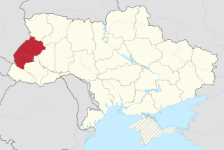
Lviv Oblast, also referred to as Lvivshchyna is an oblast (province) in western Ukraine. The administrative center of the oblast is the city of Lviv. The current population is 2,497,750.
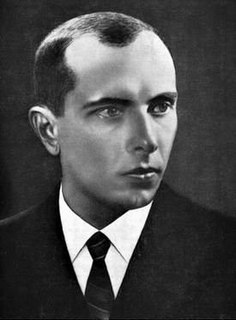
Stepan Andriyovych Bandera was a Ukrainian politician, Nazi collaborator and theorist of the militant wing of the far-right Organization of Ukrainian Nationalists (OUN) and a leader and ideologist of Ukrainian ultranationalists known for his involvement in terrorist activities.

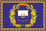
The Ukrainian Naval Forces are the maritime forces of Ukraine and one of the five branches of the Armed Forces of Ukraine.

The Ukrainian Ground Forces, also known as the Ukrainian Army, are the land forces of Ukraine and one of the five branches of the Armed Forces of Ukraine. They were formed from Soviet Ground Forces formations, units, and establishments, including three military districts, that were on Ukrainian soil when the Soviet Union collapsed.
State highways in Ukraine are subdivided into three categories: international (M-network), national (H-network), and regional (P-network). The letter's indexes are in Cyrillic, standing for their respective abbreviations in Ukrainian.
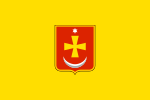
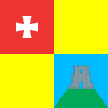
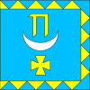
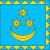
The following gallery displays the official coats of arms of the 27 oblasts, autonomous republics and cities with special status of Ukraine:
Donetsk Oblast is subdivided into districts (raions) which are further subdivided into amalgamated territorial communities (hromadas).
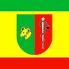
Lviv Oblast is subdivided into districts (raions) which are subdivided into amalgamated territorial communities (hromadas).
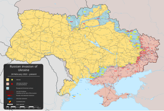
The "temporarily occupied territories of Ukraine" were defined as such in Ukrainian law following the Russian military occupation that resulted in the loss of Ukrainian control over the Crimean peninsula and parts of the Donetsk and Luhansk oblasts. The situation regarding the Crimean peninsula is more complex since Russia annexed the territory in March 2014 and administers it as two federal subjects: the Republic of Crimea and the federal city of Sevastopol. Ukraine continues to claim Crimea as an integral part of its territory, supported by most foreign governments and United Nations General Assembly Resolution 68/262, although Russia and some other UN member states recognize Crimea as part of the Russian Federation, or have expressed support for the 2014 Crimean referendum. In 2015, the Verkhovna Rada officially set 20 February 2014 as the date of "the beginning of the temporary occupation of Crimea and Sevastopol by Russia".

Nil Antonovych Khasevych was a Ukrainian painter, graphic artist, active public and political figure, member of the OUN and the UHVR. He was also a knight of the Silver Cross of Merit and the Medal "For the fight in especially difficult circumstances". His pseudonyms are Bey-Zot, Levko, Rybalka, 333, Staryi, and Dzhmil.
Zarichchia is the name of various places in Ukraine:
This page is based on this
Wikipedia article Text is available under the
CC BY-SA 4.0 license; additional terms may apply.
Images, videos and audio are available under their respective licenses.


