 | This article needs additional citations for verification .(December 2009) |
Northgate | |
|---|---|
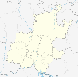  Northgate 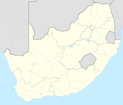 Northgate | |
| Coordinates: 26°03′36″S27°56′49″E / 26.06°S 27.947°E | |
| Country | South Africa |
| Province | Gauteng |
| Municipality | City of Johannesburg |
| Main Place | Randburg |
| Area | |
• Total | 1.22 km2 (0.47 sq mi) |
| Population (2011) [1] | |
• Total | 3,845 |
| • Density | 3,200/km2 (8,200/sq mi) |
| Racial makeup (2011) | |
| • Black African | 63.4% |
| • Coloured | 3.0% |
| • Indian/Asian | 12.6% |
| • White | 20.3% |
| • Other | 0.7% |
| First languages (2011) | |
| • English | 52.7% |
| • Zulu | 8.9% |
| • Xhosa | 7.7% |
| • Afrikaans | 7.0% |
| • Other | 23.7% |
| Time zone | UTC+2 (SAST) |
Northgate is a suburb of Randburg, Gauteng Province, South Africa. Northgate contains a major shopping mall (Northgate Shopping Centre).

