Boston Harbor Islands National and State Park

Last updated

Boston Harbor Islands National and State Park
SpectacleIsland 9.8.24.jpg
View of Spectacle Island showing trails, visitor center, and pier from the island's north side.
Relief map of USA Massachusetts.png
Red pog.svg
Usa edcp relief location map.png
Red pog.svg
Location Norfolk, Plymouth, and Suffolk counties, Massachusetts
Nearest city Boston, Massachusetts
Coordinates 42°19′7″N70°56′45″W / 42.31861°N 70.94583°W / 42.31861; -70.94583
Area1,482 acres (6.00 km2) [1]
EstablishedNovember 12, 1996
Governing bodyBoston Harbor Islands Partnership which includes the National Park Service together with other federal, state, city, and nonprofit agencies.
Website Boston Harbor Islands National Recreation Area

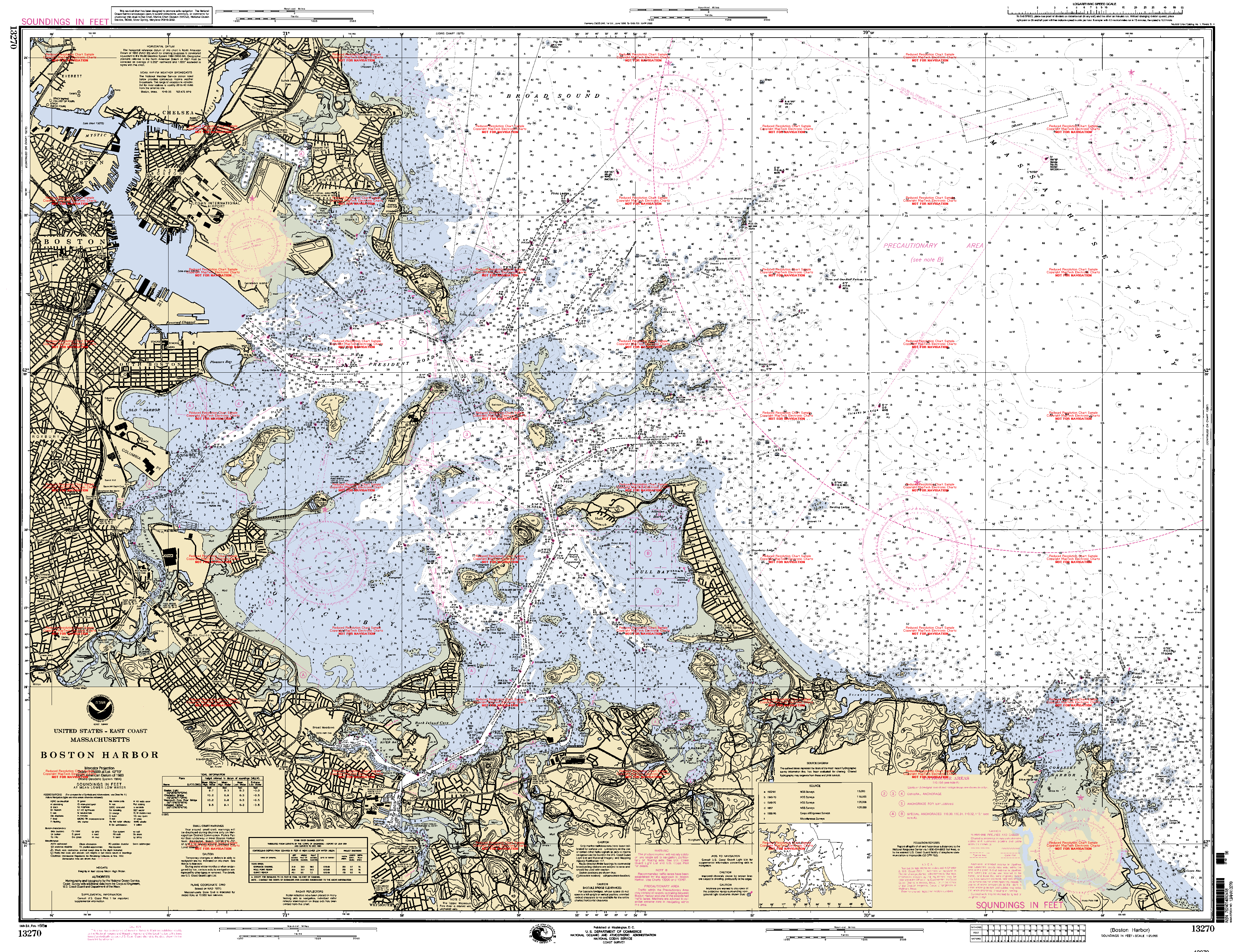
Boston Harbor Islands National and State Park is a combination national recreation area and state park situated among the islands of Boston Harbor. The park is made up of 34 islands and peninsulas [2] [3] and is managed by the Boston Harbor Islands Partnership. [4] Twenty-one of the islands are also included in the Boston Harbor Islands Archeological District.

Contents

The park is significant for a wide range of natural and cultural resources, including three national historic landmarks, unique geological features, archaeological resources resulting from thousands of years of occupation of the islands by indigenous people of Massachusetts, and complex natural communities. [4]

Attractions include hiking trails, beaches, the Civil War-era Fort Warren, and Boston Light, the oldest lighthouse station in the United States. [5] Georges Island and Spectacle Island are served seasonally by ferries to and from Boston, and Peddocks Island is served by a ferry from Hingham. [6]

In 2008, Peddocks Island was used for filming scenes in Martin Scorsese's Shutter Island . [7]

List of islands and peninsulas

Map of the Boston Harbor Islands National Recreation Area. Boston Harbor Islands National Recreation Area.png
Map of the Boston Harbor Islands National Recreation Area.

The Boston Harbor Islands National Recreation Area is made up of islands and peninsulas on and around Boston Harbor. These include: [8] [9]

Though they are located in Boston Harbor, neither Castle Island nor Spinnaker Island belong to Boston Harbor Islands National Recreation Area. Other former islands (Apple Island, Governors Island and Noddle's Island) were obliterated by the formation of East Boston and the expansion of Logan International Airport before the creation of the national recreation area.

Management

The Boston Harbor Islands National Recreation Area is managed by the Boston Harbor Islands Partnership, [10] a statutory body established as a federal operating committee by the park enabling legislation. The partnership consists of individual members who represent a range of federal, state, city, and nonprofit agencies, including:

Apart from the representative for the Coast Guard, who is appointed by the Secretary of Homeland Security, all the members of the partnership are appointed by the Secretary of the Interior after consultation with the appropriate agency or other body. [11] [12] [13]

In practice, day-to-day management of each individual island or other site is the responsibility of one of the partner agencies or other bodies. The partnership provides a consistency and coordination across the whole park. [14]

Access

Boston Harbor City Cruises offers ferry service from Long Wharf to Georges and Spectacle Islands. Ferry service from Hingham to Peddocks Island is also available. [6]

Deer Island, Nut Island, Worlds End, and Webb Memorial are accessible by road from the mainland. Moon Island and Long Island are closed to the public.

See also

Related Research Articles

<span class="mw-page-title-main">Hull, Massachusetts</span> Town in Massachusetts, United States

Hull is a town in Plymouth County, Massachusetts, United States, located on a peninsula at the southern edge of Boston Harbor. Its population was 10,072 at the 2020 census. Hull is the smallest town by land area in Plymouth County and the eleventh smallest in the state. However, its population density is nearly four times that of Massachusetts as a whole.

<span class="mw-page-title-main">Hingham, Massachusetts</span> Town in Massachusetts, United States

Hingham is a town in northern Plymouth County in the U.S. state of Massachusetts. Part of the Greater Boston region, it is located on the South Shore of Massachusetts. At the 2020 census, the population was 24,284. Hingham is known for its colonial history and location on Boston Harbor. The town was named after Hingham, Norfolk, England, and was first settled by English colonists in 1633.

<span class="mw-page-title-main">Boston Harbor</span> Estuary and harbor of Massachusetts Bay

Boston Harbor is a natural harbor and estuary of Massachusetts Bay, located adjacent to Boston Massachusetts. It is home to the Port of Boston, a major shipping facility in the Northeastern United States.

<span class="mw-page-title-main">World's End (Hingham)</span> Peninsula in Hingham, Massachusetts, just south of Boston

World's End is a 251-acre (1 km²) park and conservation area located on a peninsula in Hingham, Massachusetts. The peninsula is bordered by the Weir River to the North and East and Hingham Harbor to the West. The land is composed of four drumlins harboring tree groves interspersed with fields attractive to butterflies and grassland-nesting birds, and offers 4.5 miles of walking paths with views of the Boston skyline.

<span class="mw-page-title-main">Department of Conservation and Recreation</span> State agency of the Commonwealth of Massachusetts

The Department of Conservation and Recreation (DCR) is a state agency of the Commonwealth of Massachusetts, United States, situated in the Executive Office of Energy and Environmental Affairs. It is best known for its parks and parkways. The DCR's mission is "To protect, promote and enhance our common wealth of natural, cultural and recreational resources for the well-being of all." The agency is the largest landowner in Massachusetts.

<span class="mw-page-title-main">MBTA boat</span> Ferry service in Massachusetts, US

The MBTA ferry system is a public boat service providing water transportation in Boston Harbor. It is operated by Hornblower Cruises under contract to the Massachusetts Bay Transportation Authority (MBTA). In 2023, the system had a ridership of 1,260,000, or about 5,000 per weekday as of the second quarter of 2024. The system has six routes that terminate in downtown Boston. Year-round routes run to Hingham directly (F1) and via Hull (F2H), and to the Charlestown Navy Yard (F4). Seasonal routes run to Lynn (F3), Winthrop (F5), and East Boston (F6).

<span class="mw-page-title-main">Spectacle Island (Massachusetts)</span> Island in Massachusetts, USA

Spectacle Island is a 114-acre (46 ha) island in Boston Harbor, 4 miles (6.4 km) offshore of downtown Boston, Massachusetts. It is part of the city of Boston. The island has a varied history, and today is a public park with a marina, visitor center, cafe, lifeguarded swimming beach, and five miles of walking trails, forming part of the Boston Harbor Islands National Recreation Area. It is served all year by ferries from Boston, and on weekends and summer weekdays by a shuttle boat to and from nearby islands.

<span class="mw-page-title-main">Peddocks Island</span> Island in Boston Harbor

Peddocks Island is one of the largest islands in Boston Harbor. Since 1996 it has formed part of the Boston Harbor Islands National Recreation Area. Managed by the Department of Conservation and Recreation, the island is home to the now-defunct Fort Andrews, active in harbor defense from 1904 to the end of World War II, on its eastern end, and a group of privately owned cottages on its western end. Campsites are also on the eastern end. Ferry service between Peddocks Island and Georges Island is provided on a seasonal basis.

<span class="mw-page-title-main">Lovells Island</span>

Lovells Island, or Lovell's Island, is a 62-acre (250,000 m2) island in the Boston Harbor Islands National Recreation Area, in Massachusetts. The island is across The Narrows from Georges Island and some 7 miles (11 km) offshore of downtown Boston. It is named after Captain William Lovell, who was an early settler of nearby Dorchester. The island is known as the site of several shipwrecks, including the 74-gun French warship Magnifique in 1782.

<span class="mw-page-title-main">Grape Island (Massachusetts)</span>

Grape Island is an island in the Hingham Bay area of the Boston Harbor Islands National Recreation Area. The island is part of the territory of the town of Weymouth, Massachusetts. The island has a permanent size of 54 acres (220,000 m2), plus an intertidal zone of a further 46 acres (190,000 m2), and is composed of two drumlins, reaching an elevation of 70 feet (21 m) above sea level, and connected by a marshy lowland. Tidal sand spits extend from the west end towards Weymouth Neck in Webb Memorial State Park and from the east end towards Slate Island.

The Boston Harbor Islands Partnership is a non-profit partnership organization based in Boston, whose purpose is "to coordinate the activities of the Federal, State, and local authorities and the private sector in the development and implementation of a general management plan" for the Boston Harbor Islands National Recreation Area. The Partnership was established by the United States Congress in 1996, as part of the law which designated the Boston Harbor Islands as a unit of the national parks system.

<span class="mw-page-title-main">Webb Memorial State Park</span>

Webb Memorial State Park is a public recreation area located on a peninsula that extends nearly half a mile (800 m) into the Hingham Bay area of Boston Harbor in Massachusetts. It is composed of three connected drumlins and a low marsh area. The state park forms the only mainland portion of the Boston Harbor Islands National Recreation Area.

<span class="mw-page-title-main">Fore River (Massachusetts)</span> Tidal estuary in the U.S. state of Massachusetts

Weymouth Fore River is a small bay or estuary in eastern Massachusetts and is part of the Massachusetts Bay watershed.

<span class="mw-page-title-main">Wollaston Beach</span> Public beach in Massachusetts, U.S.

Wollaston Beach is the largest public beach in the Boston Harbor. The beach is located parallel to Quincy Shore Drive in North Quincy, Massachusetts, which was constructed to provide access to the bay beach for Greater Boston. Wollaston beach expands Quincy Bay forming part of Boston Harbor. The northern end of the beach is the Native American historical site, Moswetuset Hummock which is where the original Moswetuset Sac'hem (Chief) had a tribal council.

<span class="mw-page-title-main">Quincy Bay</span> Bay in Massachusetts, United States

Quincy Bay is the largest of the three small bays of southern Boston Harbor, part of Massachusetts Bay and forming much of the shoreline of the city of Quincy, Massachusetts. Locally in the Wollaston neighborhood of Quincy it is known as Wollaston Bay. The bay is home to Moon Island, Long Island, and Hangman Island.

<span class="mw-page-title-main">Metropolitan Park System of Greater Boston</span>

The Metropolitan Park System of Greater Boston is a system of reservations, parks, parkways and roads under the control of the Massachusetts Department of Conservation and Recreation (DCR) in and around Boston that has been in existence for over a century. The title is used by the DCR to describe the areas collectively: "As a whole, the Metropolitan Park System is currently eligible for listing on the National Register of Historic Places", as outlined on the department's website. The DCR maintains a separate Urban Parks and Recreation division to oversee the system, one of five such divisions within the department—DCR's Bureau of State Parks and Recreation manages the remainder of Massachusetts state parks. Direct design and maintenance functions for the parkways and roads within the system are provided by the DCR Bureau of Engineering.

<span class="mw-page-title-main">Hull Gut</span>

Hull Gut is a gut about half a mile wide and thirty-five feet deep, in Boston Harbor running between Pemberton Point in Hull and the East Head of Peddocks Island. Along with its sister channel, West Gut, which runs between the West Head of Peddocks Island and Hough's Neck in Quincy, Hull Gut forms the southern entrance to the Inner Harbor connecting it to Hingham Bay. To the north the gut intersects with the deep-water shipping lane Nantasket Roads. Strong cross-currents and often heavy traffic make the gut a dangerous waterway. The channel is used by oil tankers and other freighters bound for industries around the Weymouth Fore River in Braintree, Weymouth, and Quincy and, historically, was used by the shipbuilding industry.

<span class="mw-page-title-main">Hingham Bay</span> Bay in Massachusetts, United States

Hingham Bay is the easternmost of the three small bays of outer Boston Harbor, part of Massachusetts Bay and forming the western shoreline of the town of Hull and the northern shoreline of Hingham in the United States state of Massachusetts. It lies east of Quincy Bay and is met at the southwest by the mouth of Weymouth Fore River, also forming part of the waterfront of Weymouth. The bay is home to several of the Boston Harbor Islands.

<span class="mw-page-title-main">Sheep Island (Massachusetts)</span> Island in Hingham Bay, Boston Harbor, Massachusetts

Sheep Island is a small uninhabited island of about 3.2 acres (1.3 ha) in Hingham Bay, an outer arm of Boston Harbor. It is within the bounds of the town of Weymouth, Massachusetts, is owned by the Massachusetts Department of Conservation & Recreation, and is part of the Boston Harbor Islands National and State Park.

References

  1. "Listing of acreage – December 31, 2011" (XLSX). Land Resource Division, National Park Service. Retrieved December 16, 2012. (National Park Service Acreage Reports)
  2. "Boston Harbor Islands National Recreation Area". June 27, 2024. Retrieved August 8, 2024.
  3. "World's End (U.S. National Park Service)". www.nps.gov. Retrieved August 8, 2024.
  4. 1 2 3 "Boston Harbor Islands: A Partnership Park". Boston Harbor Islands. March 19, 2024. Retrieved August 8, 2024.
  5. "National Historic Landmark nomination for Boston Light". National Park Service. Archived from the original on June 14, 2006. Retrieved June 18, 2006.
  6. 1 2 "Ferry Schedule". Boston Harbor Islands. Boston Harbor Islands. Archived from the original on July 24, 2024. Retrieved August 8, 2024.
  7. Riglian, Adam (April 14, 2008). "DiCaprio, Scorsese filming on Peddocks Island". The Patriot Ledger . GateHouse Media. Archived from the original on October 27, 2008. Retrieved May 21, 2008.
  8. US Geological Survey 7.5 minute series topographic map "Hull" 1971
  9. "Island Facts". Boston Harbor Islands National Recreation Area. October 30, 2023. Retrieved August 8, 2024.
  10. "Boston Harbor Islands Partnership - Boston Harbor Islands National Recreation Area (U.S. National Park Service)". www.nps.gov. Retrieved April 4, 2018.
  11. "Islands Partnership - Governance". Boston Harbor Islands Partnership. Archived from the original on October 5, 2006. Retrieved October 6, 2006.
  12. "Islands Partnership - Membership". Boston Harbor Islands Partnership. Archived from the original on August 30, 2006. Retrieved October 6, 2006.
  13. "Public Law 104-33, 110 Stat. 4093 Sec. 1029. Boston Harbor Islands Recreation Area" . Retrieved October 6, 2006.
  14. "Boston Harbor Islands - General Management Plan" (PDF). National Park Service. Retrieved October 19, 2006.

Bibliography

Further reading