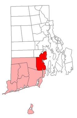
History
The area was first settled by Roger Williams and Richard Smith, who set up trading posts near Wickford where Smith's Castle is today. The town of Kings Towne was founded in 1674, by the colonial government, and included the present-day towns of North Kingstown, South Kingstown, Exeter, and Narragansett. In 1723, Kings Towne was split into two parts, North Kingstown and South Kingstown, with North Kingstown, having the earliest settlements, retaining the 1674 establishment date. In 1742, the town of Exeter was taken from the western part of North Kingstown.
On September 17, 2024, the National Park Service announced that North Kingstown was named a World War II Heritage City. [3]
Demographics
Historical population| Census | Pop. | Note | %± |
|---|
| 1790 | 2,907 | | — |
|---|
| 1800 | 2,794 | | −3.9% |
|---|
| 1810 | 2,957 | | 5.8% |
|---|
| 1820 | 3,007 | | 1.7% |
|---|
| 1830 | 3,036 | | 1.0% |
|---|
| 1840 | 2,909 | | −4.2% |
|---|
| 1850 | 2,971 | | 2.1% |
|---|
| 1860 | 3,104 | | 4.5% |
|---|
| 1870 | 3,563 | | 14.8% |
|---|
| 1880 | 3,949 | | 10.8% |
|---|
| 1890 | 4,193 | | 6.2% |
|---|
| 1900 | 4,194 | | 0.0% |
|---|
| 1910 | 4,048 | | −3.5% |
|---|
| 1920 | 3,397 | | −16.1% |
|---|
| 1930 | 4,279 | | 26.0% |
|---|
| 1940 | 4,604 | | 7.6% |
|---|
| 1950 | 14,180 | | 208.0% |
|---|
| 1960 | 18,977 | | 33.8% |
|---|
| 1970 | 29,793 | | 57.0% |
|---|
| 1980 | 21,938 | | −26.4% |
|---|
| 1990 | 23,786 | | 8.4% |
|---|
| 2000 | 26,326 | | 10.7% |
|---|
| 2010 | 26,486 | | 0.6% |
|---|
| 2020 | 27,732 | | 4.7% |
|---|
|
As of the 2020 census, 27,732 people and 11,338 households were in the town. The population density was 642.4 inhabitants per square mile (248.0/km2), with 12,189 housing units in the town. The racial makeup of the town was 89.59% White, 1.27% African American, 0.57% American Indian/Alaska Native, 1.90% Asian, 1.19% from some other race, and 5.42% from two or more races. Hispanics or Latinos of any race were 3.65% of the population.
Of the 11,338 households, 28.1% had children under 18 living with them, 54.7% were married couples living together, 23.6% had a female householder with no spouse present, and 14.2% had a male householder with no spouse present. About 11.2% of all households were made up of individuals, and 4.6% had someone living alone who was 65 or older. The average household size was 2.42 and the average family size was 2.98.
In the town, the age distribution was 18.4% under 18, 9.5% from 18 to 24, 22.6% from 25 to 44, 28.1% from 45 to 64, and 21.4% who were 65 or older. The median age was 44 years. The median income for a household in the town was $120,565, and for a family was $144,898. The per capita income for the town was $61,280. About 6.6% of the population were below the poverty line, including 9.1% of those under 18 and 6.6% of those 65 or over.
This page is based on this
Wikipedia article Text is available under the
CC BY-SA 4.0 license; additional terms may apply.
Images, videos and audio are available under their respective licenses.