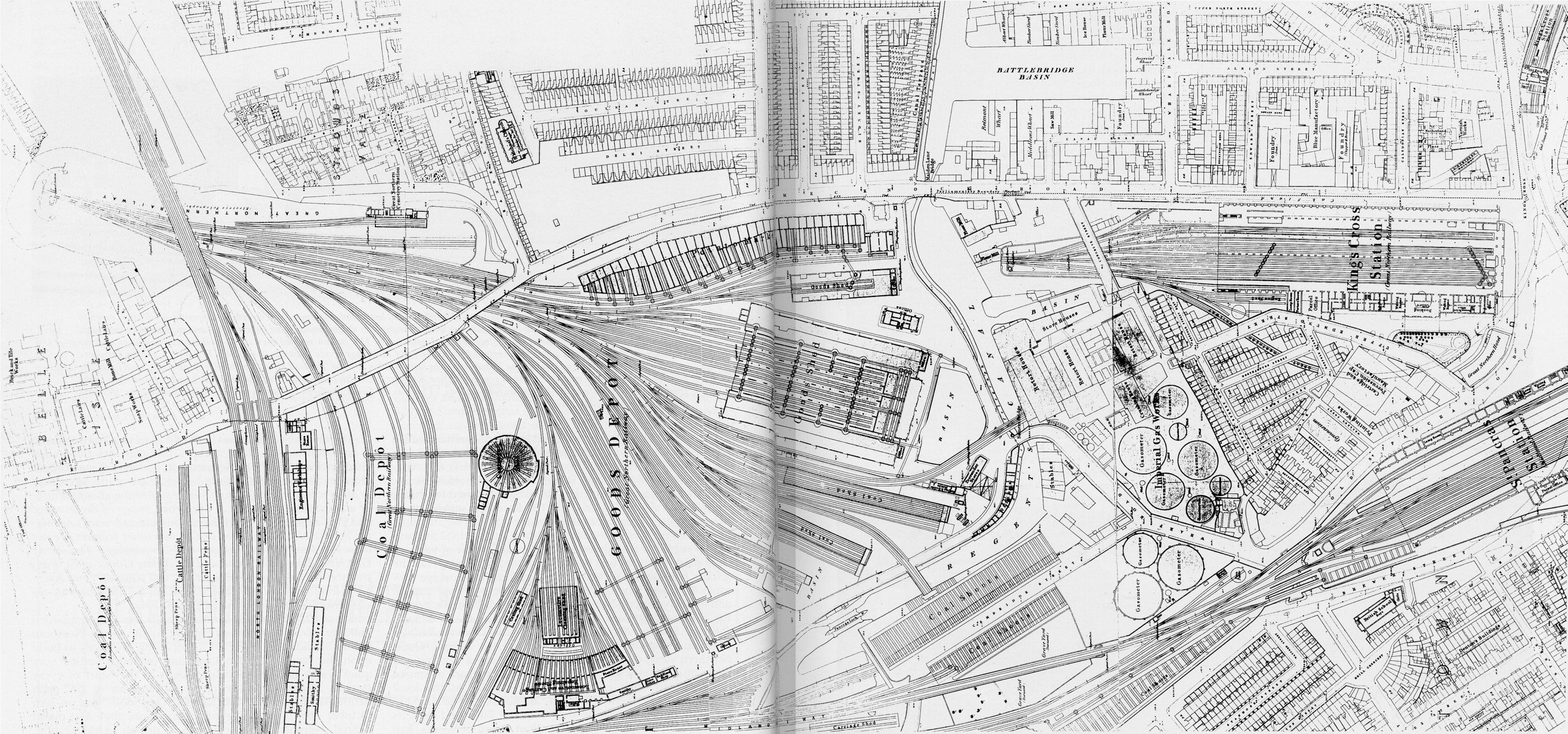
Great Northern Railway station

This station, opened on 7 August 1850 as the "London Temporary Passenger Station", was the temporary London terminus of the Great Northern Railway. It was opened so that the railway could earn revenue from visitors travelling to visit the Great Exhibition of 1851. Covered by a double-span train shed, there were two platforms and two release roads. The main station buildings were on the down side of the station. The station served passengers until 14 October 1852, when the last section of the East Coast Main Line and King's Cross station were opened. The station subsequently served as a potato warehouse before it was demolished, [1] some time after 1874.

