California Historical Landmarks in Santa Cruz County, California

Last updated
Map all coordinates using: OpenStreetMap  ·  Google Maps
Download coordinates as: KML  ·  GPX

List table of the properties and districts — listed on the California Historical Landmarks — within Santa Cruz County , California.

California Historical Landmark buildings, structures, sites, or places in California determined to have historical significance

California Historical Landmarks (CHLs) are buildings, structures, sites, or places in the U.S. state of California that have been determined to have statewide historical landmark significance.

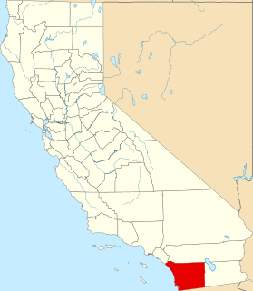
Santa Cruz County, California County in California

Santa Cruz County, California, officially the County of Santa Cruz, is a county on the Pacific coast of the U.S. state of California. As of the 2010 census, the population was 262,382. The county seat is Santa Cruz.

Contents

  • Note: Click the "Map of all coordinates" link to the right to view a Google map of all properties and districts with latitude and longitude coordinates in the table below.

Listings

Image [1] Landmark nameLocationCity or townSummary
Big Basin Redwoods State Park Bigbasinredwoods.jpg
Big Basin Redwoods State Park
827 Big Basin Redwoods State Park Big Basin Redwoods State Park
37°10′21″N122°13′21″W / 37.1725°N 122.2225°W / 37.1725; -122.2225 (Big Basin Redwoods State Park)
Santa Cruz
Castro Adobe Juan-Castro-Adobe.jpg
Castro Adobe
998 Castro Adobe 184 Old Adobe Rd.
36°56′45″N121°48′40″W / 36.9458°N 121.811°W / 36.9458; -121.811 (Castro Adobe)
Watsonville
Felton Covered Bridge Felton, California covered bridge.jpg
Felton Covered Bridge
583 Felton Covered Bridge Covered Bridge Rd. and Graham Hill Rd.
37°03′03″N122°04′15″W / 37.050797°N 122.070956°W / 37.050797; -122.070956 (Felton Covered Bridge)
Felton
Glenwood Glenwood1.JPG
Glenwood
449 Glenwood 4171 Glenwood Dr.
37°06′29″N121°59′08″W / 37.108056°N 121.985556°W / 37.108056; -121.985556 (Glenwood)
Scotts Valley
Mission Santa Cruz MissionSantaCruzCalifornia.jpg
Mission Santa Cruz
342 Mission Santa Cruz Plaza Park
36°58′39″N122°01′43″W / 36.9775°N 122.028611°W / 36.9775; -122.028611 (Mission Santa Cruz)
Santa Cruz
Santa Cruz Beach Boardwalk Santa Cruz, California - Boardwalk.jpg
Santa Cruz Beach Boardwalk
983 Santa Cruz Beach Boardwalk 400 Beach St.
36°57′51″N122°01′04″W / 36.964167°N 122.017778°W / 36.964167; -122.017778 (Santa Cruz Beach Boardwalk)
Santa Cruz
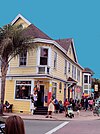
Superintendent's Office Hihn Building - Santa Cruz County, California.jpg
Superintendent's Office
860 Superintendent's Office 201 Monterey Ave.
36°58′22″N121°57′02″W / 36.9729°N 121.9506°W / 36.9729; -121.9506 (Superintendent's Office)
Capitola
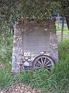
Villa de Branciforte Villa de Branciforte marker.JPG
Villa de Branciforte
469 Villa de Branciforte Water and Branciforte
36°59′00″N122°01′00″W / 36.983333°N 122.016667°W / 36.983333; -122.016667 (Villa de Branciforte)
Santa Cruz

Related Research Articles

National Register of Historic Places listings in San Diego County, California Wikimedia list article

This is a list of the National Register of Historic Places listings in San Diego County, California.

National Register of Historic Places listings in Santa Clara County, California Wikimedia list article

This is a list of the National Register of Historic Places listings in Santa Clara County, California.

National Register of Historic Places listings in Sonoma County, California Wikimedia list article

This is a list of the National Register of Historic Places listings in Sonoma County, California.

National Register of Historic Places listings in Santa Barbara County, California Wikimedia list article

This is a list of the National Register of Historic Places listings in Santa Barbara County, California.
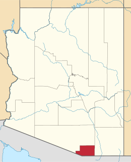
National Register of Historic Places listings in Santa Cruz County, Arizona Wikimedia list article

This is a list of the National Register of Historic Places listings in Santa Cruz County, Arizona. It is intended to be a complete list of the properties and districts on the National Register of Historic Places in Santa Cruz County, Arizona, United States. The locations of National Register properties and districts for which the latitude and longitude coordinates are included below, may be seen in a map.
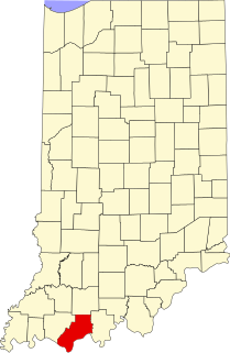
National Register of Historic Places listings in Spencer County, Indiana Wikimedia list article

This is a list of the National Register of Historic Places listings in Spencer County, Indiana.

List table of the properties and districts — listed on the California Historical Landmarks — within Calaveras County, California.

List table of the properties and districts — listed on the California Historical Landmarks — within Fresno County, Northern California.

List table of the properties and districts — listed on the California Historical Landmarks — within Humboldt County, Northern California.

Properties and districts listed as California Historical Landmarks within Kern County.

List table of the properties and districts — listed on the California Historical Landmarks in Los Angeles County, Southern California.

List table of the properties and districts — listed on the California Historical Landmarks — within Nevada County, Northern California.

List table of the properties and districts — listed on the California Historical Landmarks — within City and County of San Francisco, California.

This list includes properties and districts listed on the California Historical Landmark listing in Sacramento County, California. Click the "Map of all coordinates" link to the right to view a Google map of all properties and districts with latitude and longitude coordinates in the table below.

List table of the properties and districts — listed on the California Historical Landmarks — within Sonoma County, California.

List table of the properties and districts — listed on the California Historical Landmarks — within San Mateo County, California.

List table of the properties and districts — listed on the California Historical Landmarks — within Santa Barbara County, California.

List table of the properties and districts — listed on the California Historical Landmarks — within Santa Clara County, California.

This list includes properties and districts listed on the California Historical Landmark listing in Ventura County, California. Click the "Map of all coordinates" link to the right to view a Google map of all properties and districts with latitude and longitude coordinates in the table below.

References

See also

National Register of Historic Places listings in Santa Cruz County, California Wikimedia list article

This is a list of the National Register of Historic Places listings in Santa Cruz County, California.