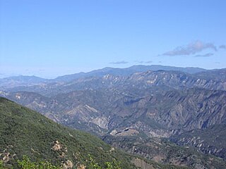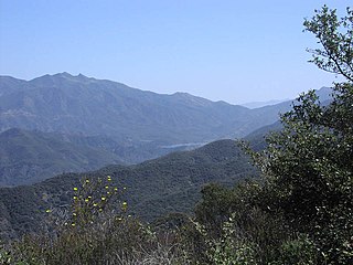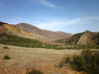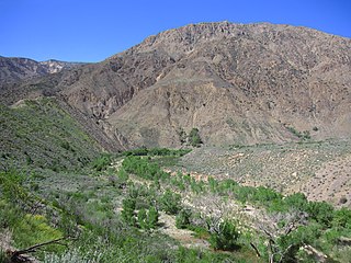
The Santa Ynez Mountains are a portion of the Transverse Ranges, part of the Pacific Coast Ranges of the west coast of North America. It is the westernmost range in the Transverse Ranges.

The San Rafael Mountains are a mountain range in central Santa Barbara County, California, U.S., separating the drainages of the Santa Ynez River and the Santa Maria River. They are part of the Transverse Ranges system of Southern California which in turn are part of the Pacific Coast Ranges system of western North America.

The Sierra Madre is a mountain range in southwestern California. It forms the southernmost part of the California Coast Ranges and lies mostly in Santa Barbara County, with a small portion extending into Ventura County. The Sierra Madre has a northwest-to-southeast orientation, bordered on the north and northeast by the Cuyama River and Cuyama Valley, and on the south and east by the drainage of the Sisquoc River.

Los Padres National Forest is a United States national forest in southern and central California. Administered by the United States Forest Service, Los Padres includes most of the mountainous land along the California coast from Ventura to Monterey, extending inland. Elevations range from sea level to 8,847 feet (2,697 m).

The Topatopa Mountains are a mountain range in Ventura County, California, north of Ojai, Santa Paula, and Fillmore. They are part of the Transverse Ranges of Southern California.

Sespe Creek is a stream, some 61 miles (98 km) long, in Ventura County, southern California, in the Western United States. The creek starts at Potrero Seco in the eastern Sierra Madre Mountains, and is formed by more than thirty tributary streams of the Sierra Madre and Topatopa Mountains, before it empties into the Santa Clara River in Fillmore.

The Sisquoc River is a westward flowing river in northeastern Santa Barbara County, California. It is a tributary of the Santa Maria River, which is formed when the Sisquoc River meets the Cuyama River at the Santa Barbara County and San Luis Obispo County border just north of Garey. The river is 57.4 miles (92.4 km) long and originates on the north slopes of Big Pine Mountain, at approximately 6,320 feet (1,930 m). Big Pine Mountain is part of the San Rafael Mountains, which are part of the Transverse Ranges.

The Chumash Wilderness is a 38,150 acres (15,440 ha) wilderness area within the southern Los Padres National Forest. It is located in the Transverse Ranges, in northern Ventura County and southwestern Kern County in California.

The San Rafael Wilderness is a wilderness area in the mountains of north central Santa Barbara County, California, United States. It is north of the city of Santa Barbara and east of Santa Maria within the Los Padres National Forest. Formed in 1968, it was the first wilderness area to be created from a previously designated Primitive Area after the passage of the 1964 Wilderness Act. It also includes the Sisquoc Condor Sanctuary, created in 1937, which is the oldest designated sanctuary for the large endangered birds.
Big Pine Mountain is a mountain located in the San Rafael Mountains of the California Transverse Ranges. High enough to receive snowfall during the winter, the summit, at 6,803+ feet (2,074+ m), is the highest point in the San Rafael Mountains, the Dick Smith Wilderness, and Santa Barbara County. The peak and the surrounding area were severely impacted by the Zaca Fire in 2007.

The Silver Peak Wilderness is located in the southwestern corner of Monterey County in the Santa Lucia Mountains along the Central Coast of California. It southern boundary largely follows the Monterey County/San Luis Obispo County line. Its eastern boundary is defined by Ft. Hunter Liggett, while on the west it follows closely along Highway 1 and the Big Sur coastline. It is one of ten wilderness areas within the Los Padres National Forest and managed by the US Forest Service.

The Matilija Sandstone is a sedimentary geologic unit of Eocene epoch in the Paleogene Period, found in Santa Barbara and Ventura Counties in Southern California.

The Santa Cruz Trail is a trail in the Los Padres National Forest, in Santa Barbara County, California. It is the primary footpath from the Santa Ynez Recreation Area into the San Rafael and Dick Smith Wilderness areas. The section from the southern trailhead up to Santa Cruz Camp is designated as the Santa Cruz - Aliso National Recreation Trail.

Madulce Peak is a mountain located in the San Rafael Mountains, in the Transverse Ranges. It is the highest point of the Dick Smith Wilderness. The summit contains an old fire lookout that was constructed in the 1930s, but was burned down in the 1970s.

Cozy Dell Canyon is a canyon in the Topatopa Mountains immediately north of Meiners Oaks and three miles northwest of the Ojai Valley in central-western parts of Ventura County, California. It is located between Sheldon Canyon, Kennedy Canyon and McDonald Canyon, immediately east of the Ventura River. It is situated in the Los Padres National Forest and may be reached from numerous trailheads including the Cozy Dell Trail located in Ojala. It is the type locality for the Cozy Dell Shale and the name was first applied in 1928 by Kerr and Schenck. It is recognized for its natural beauty, creeks and creek beds, endemic wildflowers, diverse wildlife, rock formations, as well as panoramic views of surrounding mountains and the entire Ojai Valley.

The Sespe Wilderness is a 219,700-acre (88,900 ha) wilderness area in the eastern Topatopa Mountains and southern Sierra Pelona Mountains, within the Los Padres National Forest (LPNF), in Ventura County, Southern California. The wilderness area is primarily located within the Ojai and Mt. Pinos ranger districts of the LPNF.

Wheeler Springs is an unincorporated community that grew around a set of sulphurated hot springs in Ventura County, California. It is located 6 miles north of the Ojai Valley, within Los Padres National Forest. It is named for Wheeler Blumberg, who founded the town in 1891, and the many natural hot springs.

The Los Padres Condor Range and River Protection Act of 1992 is a Federal law that established five new designated Wilderness Areas and three new designated Wild and Scenic Rivers in the Los Padres National Forest and Angeles National Forest in California. The law was sponsored by California Republican and Ventura County native Robert J. Lagomarsino while he represented California's 19th District in the United States House of Representatives. The legislation was cosponsored by Democratic and Republican representatives from districts representing the entirety of the Los Padres National Forest.
The Matilija Wilderness is a 29,207-acre (11,820 ha) wilderness area in Ventura and Santa Barbara Counties, Southern California. It is managed by the U.S. Forest Service, being situated within the Ojai Ranger District of the Los Padres National Forest. It is located adjacent to the Dick Smith Wilderness to the northwest and the Sespe Wilderness to the northeast, although it is much smaller than either one. The Matilija Wilderness was established in 1992 in part to protect California condor habitat.

Sespe Hot Springs are a system of thermal springs and seeps that form a hot spring creek in the mountains near the Sespe Condor Sanctuary near Ojai, California.


