The N7 road is a national primary road in Ireland, connecting Limerick and Dublin. The majority of the route is motorway standard and is designated as the M7 motorway. At the Rosbrien interchange in Limerick the route continues as the N18 dual carriageway to Shannon and Ennis. The road passes through the midlands of Ireland, and acts as a trunk route out of Dublin for the N8 and N9 national primary routes to Cork and Waterford respectively. It forms part of European route E20.

The Southside is the part of Dublin city that lies south of the River Liffey. It is an informal but commonly used term. In comparison to the city's Northside, it has historically been regarded as wealthier and more privileged, with several notable exceptions.

South Dublin is a county in Ireland, within the province of Leinster and the Eastern and Midland Region. It is one of three successor counties to County Dublin, which was disestablished for administrative purposes in 1994. South Dublin County Council is the local authority for the county. The county contains both dense suburbs of Dublin and stretches of unpopulated mountain. In 2016 it had a population of 278,767, making it the third most populous county in the state.

Tallaght is the largest settlement, and county town, of South Dublin, Ireland, and the largest satellite town of Dublin. The central village area was the site of a monastic settlement from at least the 8th century, which became one of medieval Ireland's more important monastic centres.

Dún Laoghaire is a parliamentary constituency represented in Dáil Éireann, the lower house of the Irish parliament or Oireachtas. The constituency elects 4 deputies on the system of proportional representation by means of the single transferable vote (PR-STV).

The N81 road is a national secondary road in Ireland, from the M50 motorway to Tullow, County Carlow, north to south. The N81 continues past Tullow for another 8 km to terminate at the village of Closh, County Carlow, where it intersects the N80. The N81 is 76.784 km (47.711 mi) long. The road is a dual carriageway between M50 motorway and west of Tallaght, known as the Tallaght Bypass or Blessington Road. It intersects with the M50 motorway at Junction 11. There are plans to extend the dual carriageway by 5 km (3.1 mi) to the urban boundary.

A regional road in the Republic of Ireland is a class of road not forming a major route, but nevertheless forming a link in the national route network. There are over 11,600 kilometres of regional roads. Regional roads are numbered with three-digit route numbers, prefixed by "R". The equivalent road category in Northern Ireland are B roads.
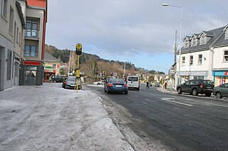
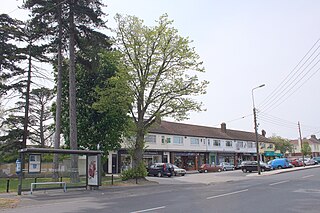
Stepaside is a village on the outskirts of Dublin located on its southside, located in Dún Laoghaire–Rathdown, Ireland. The area is situated 4 kilometres (2.5 mi) south of Dundrum.

The N31 road is a national primary road in Ireland. It connects the harbour at Dún Laoghaire southeast of Dublin to the national route network. Both the N11 and Dublin's M50 C-ring motorway connect to the N31.

The R136 road is a regional road in Ireland, located in the southwest of Dublin. Named the Outer Ring Road, the route, which is dual carriageway, runs from the N4 at Lucan to the N81 at Tallaght, bypassing west of Clondalkin and crossing the N7 near Citywest. It was built as part of the planning for the new town of Adamstown.

Newlands Cross is a well-known junction in the south-west of County Dublin. It is the point where the N7 National Route to the South West and Mid West crosses an orbital local route, the R113. For many years this area roughly marked the place where Dublin City ended and the "country" began, though it is now inside the urban area.

The R116 road is a regional road in Ireland which runs east-west from the N11 at Loughlinstown to the R115 in Ballyboden. It runs through the South of County Dublin for its entire length.
The R825 road is a regional road in south Dublin, Republic of Ireland. The road starts in Clonskeagh at the junction with the R117 and passes through Goatstown, Kilmacud and Stillorgan before ending at a junction with the N31 in Blackrock, County Dublin. The route is 7.6 km (4.7 mi) in length and is single carriageway apart from a small 2 lane section beside the N11.

The R118 road is a regional road in south Dublin and Dún Laoghaire–Rathdown, Ireland. It links Kildare Street to Cherrywood.

The R119 road is a regional road in Dún Laoghaire–Rathdown, Ireland.

The R827 road is a regional road in Dún Laoghaire–Rathdown, Dublin, Ireland connecting Blackrock and Monkstown with the N11.

The R830 road is a regional road in Dún Laoghaire–Rathdown, Ireland.

