
The island of Ireland, comprising Northern Ireland and the Republic of Ireland, has an extensive network of tens of thousands of kilometres of public roads, usually surfaced. These roads have been developed and modernised over centuries, from trackways suitable only for walkers and horses, to surfaced roads including modern motorways. Driving is on the left-hand side of the road. The major routes were established before Irish independence and consequently take little cognisance of the border other than a change of identification number and street furniture. Northern Ireland has had motorways since 1962, and has a well-developed network of primary, secondary and local routes. The Republic started work on its motorway network in the early 1980s; and historically, the road network there was once somewhat less well developed. However, the Celtic Tiger economic boom and an influx of European Union structural funding, saw national roads and regional roads in the Republic come up to international standard quite quickly. In the mid-1990s, for example, the Republic went from having only a few short sections of motorway to a network of motorways, dual carriageways and other improvements on most major routes as part of a National Development Plan. Road construction in Northern Ireland now tends to proceed at a slower pace than in the Republic, although a number of important bypasses and upgrades to dual carriageway have recently been completed or are about to begin.
The N3 road is a national primary road in the Republic of Ireland, running between Dublin, Cavan and the border with County Fermanagh. The A509 and A46 roads in Northern Ireland form part of an overall route connecting to Enniskillen, and northwest to the border again where the N3 reappears to serve Ballyshannon in County Donegal.
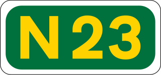
The N23 road is a national primary road in Ireland, and is located entirely in County Kerry. The route is one of the shorter national primary routes, merely forming a link road between the N21 Limerick – Tralee route at Castleisland to the N22 Tralee – Killarney – Cork route at Farranfore. This facilitates traffic passing in the Limerick – Killarney direction or vice versa, allowing it to avoid detouring into Tralee.

A national primary road is a road classification in Ireland. National primary roads form the major routes between the major urban centres. There are 2649 km of national primary roads. This category of road has the prefix "N" followed by one or two digits. Motorways are prefixed "M" followed by one or two digits.

The N72 road is a national secondary road in Ireland that runs east-west from its junction with the N25 near Dungarvan in County Waterford to the N70 in Killorglin in County Kerry.

The R730 road is a regional road in County Wexford, Ireland. From its junction with the R702 in Kiltealy it takes a southeasterly route to its junction with the R741 in the centre of Wexford Town, continuing south to Blackhorse to its junction on a roundabout with the N25 Wexford bypass. En route it crosses the N30 national primary road. The road is 35 km (22 mi) long.
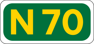
The N70 road is a national secondary road in Ireland. It comprises most of the Ring of Kerry.

The R618 road is a regional road in Ireland which runs west-east from the N22 in Macroom along the northern banks of the River Lee to rejoin the N22 at Carrigrohane near Cork City. The road passes through Carrigadrohid, Coachford and Dripsey en route. The point where the R618 leaves the N22 on the outskirts of Cork is known as Kerry Pike. The road was once part of the main route between Cork and Kerry.

The R183 road is a regional road in the Republic of Ireland, linking Clones to Castleblayney in County Monaghan. The route is 36 km (22 mi) long.
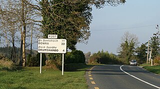
The R207 road is a regional road in Ireland linking the N16 national primary road near the Northern Ireland border to the R280 10 km north of Carrick-on-Shannon in County Leitrim.

The R729 road is a regional road in County Carlow and County Wexford in Ireland. It connects the R702 near Borris to the R714 near New Ross, 22.1 km (13.7 mi) to the south.

The R585 road is a regional road in Ireland which links the village of Kealkill with the N22 road in County Cork.

The R213 road is a regional road in Ireland which links the N2 at Castleshane with the N12 near the border with Northern Ireland in County Monaghan. The road is 4.1 km (2.5 mi) long.

The R214 road is a regional road in Ireland which links Castleshane with the Republic of Ireland–United Kingdom border. The road is 4.2 km (2.6 mi) long.

The R232 road is a regional road in Ireland which links Pettigo with Laghy in County Donegal.

The R233 road is a regional road in Ireland which links Pettigo with Lough Derg in County Donegal. The road is 7.2 km (4.5 mi) long.
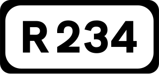
The R234 road is a regional road in Ireland which links the Republic of Ireland–United Kingdom border with the R232 near Pettigo in County Donegal.

The R237 road is a regional road in Ireland which links the Republic of Ireland–United Kingdom border at Killea with the N13 road in County Donegal.

The R510 road is a regional road in Ireland which links the N69 road and the R526 regional road in County Limerick.

The R932 road is a regional road in Ireland which links the N74 road with the R505 regional road in Cashel in County Tipperary.
