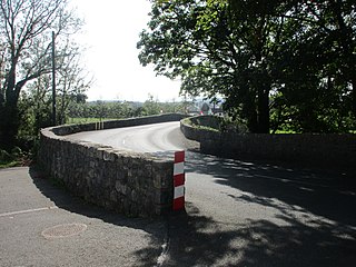
The island of Ireland, comprising Northern Ireland and the Republic of Ireland, has an extensive network of tens of thousands of kilometres of public roads, usually surfaced. These roads have been developed and modernised over centuries, from trackways suitable only for walkers and horses, to surfaced roads including modern motorways. Driving is on the left-hand side of the road. The major routes were established before Irish independence and consequently take little cognisance of the border other than a change of identification number and street furniture. Northern Ireland has had motorways since 1962, and has a well-developed network of primary, secondary and local routes. The Republic started work on its motorway network in the early 1980s; and historically, the road network there was once somewhat less well developed. However, the Celtic Tiger economic boom and an influx of European Union structural funding, saw national roads and regional roads in the Republic come up to international standard quite quickly. In the mid-1990s, for example, the Republic went from having only a few short sections of motorway to a network of motorways, dual carriageways and other improvements on most major routes as part of a National Development Plan. Road construction in Northern Ireland now tends to proceed at a slower pace than in the Republic, although a number of important bypasses and upgrades to dual carriageway have recently been completed or are about to begin.

A national secondary road is a category of road in Ireland. These roads form an important part of the national route network but are secondary to the main arterial routes which are classified as national primary roads. National secondary roads are designated with route numbers higher than those used for primary roads, but with the same "N" prefix. Routes N51 and higher are all national secondary roads.

A national primary road is a road classification in Ireland. National primary roads form the major routes between the major urban centres. There are 2649 km of national primary roads. This category of road has the prefix "N" followed by one or two digits. Motorways are prefixed "M" followed by one or two digits.

The R476 road is a regional road in central County Clare in Ireland. The route connects the N85 road at Ennis to the N67 road at Lisdoonvarna, 31 kilometres (19 mi) away.

The R106 road is a regional road in north Dublin, Ireland. It runs from Sutton, passing Baldoyle, Portmarnock and Malahide before finishing in Swords.

The R109 road is a regional road in west Dublin, Ireland. It runs from Kylemore Road via Chapelizod, the Phoenix Park and the western edge of the city centre.

The R123 road is a regional road in Fingal, Ireland.

The R124 road is a regional road in Fingal, Ireland.

The R126 road is a regional road in Fingal, Ireland.

The R129 road is a regional road in Fingal, Dublin, Ireland.

The R130 road is a regional road in Fingal, Ireland.

The R131 road is a regional road in Dublin, Ireland.

The R820 road is a regional road in Dublin, Ireland.

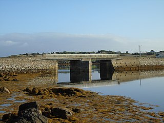
The R374 road is a regional road in County Galway, Ireland. It connects various islands in Connemara, the Gaeltacht part of the county.

The R324 road is a regional road in south central County Mayo in Ireland. It connects the N60 road near Balla to the R320 road near Kiltimagh. The road is 8.8 kilometres (5.5 mi) long.

The R329 road is a regional road in east central County Mayo in Ireland. It connects the N17 road at Shanvaghera – via Knock – to the N17 road at Ballyfarnagh, 6.6 kilometres (4.1 mi) away.

The R297 road is a regional road in counties Sligo and Mayo, in Ireland. It connects the N59 road near Dromore West to the N59 again at Dooyeaghny, just inside the Mayo border, 19.5 kilometres (12.1 mi) away.

The R729 road is a regional road in County Carlow and County Wexford in Ireland. It connects the R702 near Borris to the R714 near New Ross, 22.1 km (13.7 mi) to the south.

The R318 road is a regional road in County Mayo in Ireland. It connects the N26 at Foxford to the R310 at Cuingbeg, 4.3 kilometres (2.7 mi) away.

The R376 road is a regional road in County Mayo in Ireland. It connects the N17 road to the entrance to Ireland West Airport, 1.9 kilometres (1.2 mi) away.


