
The N11 road is a national primary road in Ireland, running for 129 km (80 mi) along the east side of Ireland from Dublin to Wexford. It passes close to Bray, Greystones, Wicklow, Arklow, Gorey, and Enniscorthy. Beyond Wexford, the route continues to Rosslare as the N25. The road forms part of European route E01. As of July 2019 the N11/M11 is of dual carriageway or motorway standard from Dublin as far as Oilgate in County Wexford.
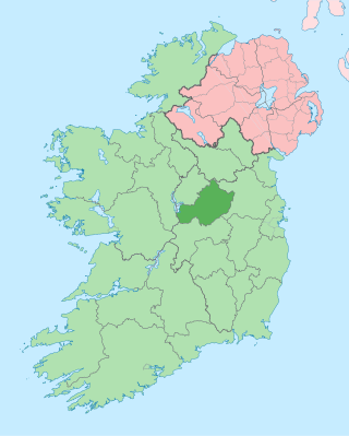
County Westmeath is a county in Ireland. It is in the province of Leinster and is part of the Eastern and Midland Region. It formed part of the historic Kingdom of Meath, which was named Mide because the kingdom was located in the geographical centre of Ireland. Westmeath County Council is the administrative body for the county, and the county town is Mullingar. At the 2022 census, the population of the county was 95,840.

The N4 road is a national primary road in Ireland, running from Dublin to the northwest of Ireland and Sligo town. The M6 to Galway diverges from this route after Kinnegad, while the N5 to Westport diverges at Longford town. Most sections of the N4 that are motorway-standard are designated the M4 motorway.

Kinnegad or Kinagad is a town in County Westmeath, Ireland. It is on the border with County Meath, near the junction of the M6 and the M4 motorways - two of Ireland's main east–west roads. It is roughly 60 km from the capital, Dublin.

The N6 road is a national primary road in Ireland from junction 11 on the M4 motorway at Kinnegad to Galway city. The N6 and N4 form a continuous motorway or dual carriageway from Dublin city centre to Galway City passing in an east–west direction through the midlands of Ireland. Most of the road is motorway standard with the exception of the Athlone bypass and stretches of urban road in Galway City, which are the only sections of the road that remain designated as N6 dual carriageway. There is one toll on the road outside Galway city. Major upgrades to the road were completed in December 2009 completing the first intercity motorway/dual carriageway in Ireland and the New Junctions of M6 are built and will be 164 km.
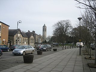
Dunboyne is a town in County Meath, Ireland, 15 km (9 mi) north-west of Dublin city centre. It is a commuter town for Dublin. In the 20 years between the 1996 and 2016 censuses, the population of Dunboyne more than doubled from 3,080 to 7,272 inhabitants. As per the 2022 census, the population decreased slightly to 7,155. The town is in a townland and civil parish of the same name.

A regional road in the Republic of Ireland is a class of road not forming a major route, but nevertheless forming a link in the national route network. There are over 11,600 kilometres of regional roads. Regional roads are numbered with three-digit route numbers, prefixed by "R". The equivalent road category in Northern Ireland are B roads.

The R148 road is one of Ireland's regional roads which was classified following the opening of a bypassed national primary road.
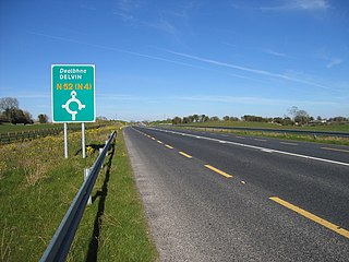
The N52 road is a national secondary road in Ireland. It links the M7 motorway from just south of Nenagh, County Tipperary to the M1 motorway north of Dundalk in County Louth. The route forms a connection between the north east of Ireland and the mid west traversing the midlands. It interchanges with the M6 at Kilbeggan and at Tyrrellspass, the N4 at Mullingar, the N3 at Kells, and the N2 at Ardee before continuing towards Dundalk.

Enfield, also known as Innfield, is a town in south County Meath, Ireland, situated between Kilcock and Kinnegad and very close to the border with County Kildare. The town is on the Dublin-Sligo railway line. It is located on the R148 regional road, formerly the N4 national primary road connecting Dublin to Connacht.
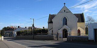
Raharney is a village in east County Westmeath, Ireland. It had a population of 221 according to the 2016 census.
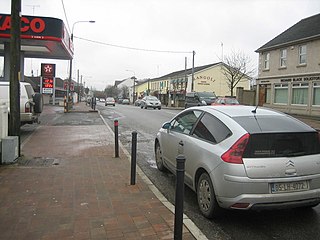
Clonee is a village and a townland in County Meath, Ireland. It borders County Dublin to the east at the townlands of Huntstown and Littlepace, and is sometimes used in addresses for housing in those townlands. The River Tolka passes the village.

The R446 road is a regional road in Ireland. The road connects Kinnegad in County Westmeath to Galway City. Prior to the construction of the M6 motorway the R446 formed the main N6 road connecting Dublin and Galway. Following the opening of the M6; the old N6 road was downgraded to regional road status and was designated as the R446. The road is an alternative route between Galway and Dublin and runs in parallel to the M6.
The N51 road is a national secondary road in Ireland. West to east, it starts in Delvin, County Westmeath at a junction with the N52. It passes through Athboy, a junction with M3 motorway, Navan and Slane, where it crosses the N2 road, all in County Meath, before crossing the M1 motorway and terminating near Drogheda in County Louth at a roundabout on the R132.

The R392 road is a regional road in Ireland linking Lanesborough, County Longford on the N63 to Mullingar, County Westmeath.

The R393 road is a regional road in Ireland linking Longford to Mullingar in County Westmeath.
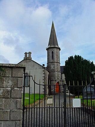
Rathmolyon is a village in the southern portion of County Meath, Ireland, situated 8 km south of Trim. It is situated at the junction of the R156 regional road and the R159 regional road connecting Trim to Enfield. Rathmolyon serves as a service centre for the surrounding rural area. The village is in a townland and civil parish of the same name.
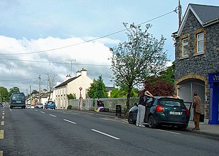
Ballivor is a village in County Meath, Ireland. It had a population of 1,809 at the 2016 census. It is on the R156 road between the towns of Mullingar and Trim, and is around 50 km north-west of Dublin.

Moyashel and Magheradernon is a barony in the centre of County Westmeath, in Ireland, formed by 1672. It is bordered by eight other baronies: Corkaree and Fore, Delvin and Farbill, Fartullagh and Moycashel and Rathconrath and Moygoish.

Farbill is a barony in east County Westmeath, in Ireland. It was formed by 1672. It is bordered by County Meath to the south and east and three other baronies: Fartullagh, Moyashel and Magheradernon and Delvin. The largest centre of population in the barony is the town of Kinnegad.


