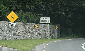
A regional road in the Republic of Ireland is a class of road not forming a major route, but nevertheless forming a link in the national route network. There are over 11,600 kilometres of regional roads. Regional roads are numbered with three-digit route numbers, prefixed by "R". The equivalent road category in Northern Ireland are B roads.

The R293 road is a regional road in Ireland linking the N17, via a junction in the townland of Ballinabole near Collooney in County Sligo, to the outskirts of Ballyhaunis in County Mayo. En route it passes through three towns, Ballymote and Gorteen in County Sligo and Ballaghaderreen in County Roscommon. The road is 55 km (34 mi) long.

The R295 road is a regional road in Ireland that runs from Ballymote, County Sligo to Boyle, County Roscommon. From Ballymote the road passes by Feenagh lough and of past the Caves of Kesh. It continues by ascending over the Curlew Mountains before descending into Boyle from the west.

The R446 road is a regional road in Ireland. The road connects Kinnegad in County Westmeath to Galway City. Prior to the construction of the M6 motorway the R446 formed the main N6 road connecting Dublin and Galway. Following the opening of the M6; the old N6 road was downgraded to regional road status and was designated as the R446. The road is an alternative route between Galway and Dublin and runs in parallel to the M6.

The R357 road is a regional road in Ireland linking Athleague, County Roscommon and Blue Ball, County Offaly. It passes Ballinasloe, County Galway, crosses the River Shannon at Shannonbridge passes through Cloughan, County Offaly and then through the cutaway peatlands of Boora Bog to Blue Ball where it terminates at the N52.
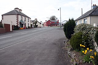
The R367 road is a regional road in Ireland linking Ballymoe on the N60 with the N5 in Tulsk, all in County Roscommon. It passes through Ballintober, Knockalaghta and Castleplunket en route.

The N60 road is a national secondary road in Ireland, linking Roscommon town to Castlebar, County Mayo. The main towns along the route are Roscommon, Ballymoe, Castlerea, Ballyhaunis, Claremorris, Balla, and Castlebar.
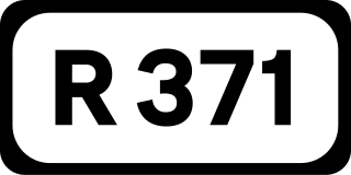
The R371 road is a regional road in Ireland linking Roosky on the N4 with the N63 in Lanesborough, on the Ballyleague (western) side of the town. The route is mostly in County Roscommon, except for the initial section leaving the N4 which is in Counties Longford and Leitrim. En route it passes through Scramogue, where it crosses the N5. The road is 23 km (14 mi) long.

The R392 road is a regional road in Ireland linking Lanesborough, County Longford on the N63 to Mullingar, County Westmeath.

The N61 road is a national secondary road in County Roscommon in Ireland, linking Athlone, Roscommon, Tulsk, and Boyle. It also connects the N6, N63, N60, N5, and N4 national primary and national secondary roads, as well as seven regional roads. The road is 74.193 kilometres (46.101 mi) long.

The R327 road is a regional road in Ireland connecting the N60 east of Claremorris, County Mayo, to the R360 in County Galway.

The R284 road is a regional road in Ireland linking Sligo to Leitrim village in County Leitrim. En route it passes through Ballygawley, Ballyfarnan, Geevagh and Keadue. The road is 46 km (29 mi) long.
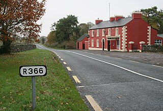
The R366 road is a regional road in Ireland linking R362 regional road to the N63 national secondary road in Roscommon Town. It passes through the hamlets of Castlecoote and Fuerty en route. The road is 9 km (5.6 mi) long and is located entirely in County Roscommon.
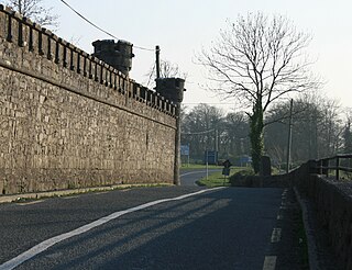
The R363 road is a regional road in Ireland linking Newbridge, County Galway to the R362 west of Athlone. It passes through Ballynamore Bridge where it crosses the River Shiven. It then crosses the River Suck into County Roscommon at Ballyforan and goes through Dysart, County Roscommon before terminating.

The R361 road is a regional road mainly in County Roscommon, Ireland. South to north the route connects Williamstown to Boyle.

The R377 road is a regional road in north County Roscommon in Ireland. It connects the R367 road at Castleplunket to the N60 road at Castlerea. The R377 is 11.4 kilometres (7.1 mi) long.
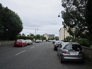
The R294 road is a regional road in counties Roscommon, Mayo, and Sligo in Ireland. It connects the N4 road near Boyle to the N26 and N59 roads in Ballina, 66 kilometres (41 mi) away.

The R325 road is a regional road in County Mayo and County Roscommon in Ireland. It connects the N83 and N17 roads at Glentavraun near Knock Airport in County Mayo to the R361 at Cloonarragh near Castlerea in County Roscommon, 24.5 kilometres (15.2 mi) away.
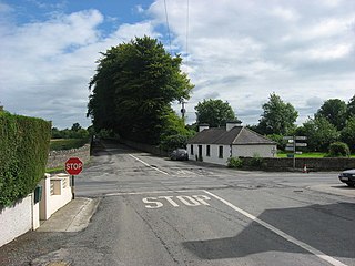
The R370 road is a regional road in Ireland, located in County Roscommon.

The R326 road is a regional road in Ireland, located in County Roscommon.
