California Historical Landmarks in Colusa County

Last updated
Map all coordinates using: OpenStreetMap  
Download coordinates as: KML  ·  GPX

This list includes properties and districts listed on the California Historical Landmark listing in Colusa County, California, United States. Click the "Map of all coordinates" link to the right to view a Google map of all properties and districts with latitude and longitude coordinates in the table below.

Image [1] Landmark nameLocationCity or townSummary
Colusa County Courthouse Colusa Cty Courthouse 1908.jpg
Colusa County Courthouse
890 Colusa County Courthouse 547 Market St.
39°12′50″N122°00′31″W / 39.21402°N 122.00853°W / 39.21402; -122.00853 (Colusa County Courthouse)
Colusa
Letts Valley LettsLakeCalifornia.jpg
Letts Valley
736 Letts Valley Letts Lake Campground
39°18′12″N122°42′33″W / 39.3034166666667°N 122.709044444444°W / 39.3034166666667; -122.709044444444 (Letts Valley)
Letts Lake Valley and lake settled in 1855 by Jack and David Lett.
Swift's Stone Corral GranvillePerrySwift.jpg
Swift's Stone Corral
238 Swift's Stone Corral Just south of Maxwell-Sites Rd.
39°17′23″N122°18′11″W / 39.289750°N 122.303167°W / 39.289750; -122.303167 (Swift's Stone Corral)
Maxwell On private property

Related Research Articles

Colusa County, California County in California, United States

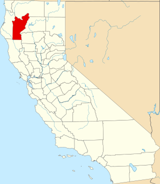
Colusa County is a county located in the U.S. state of California. As of the 2010 census, the population was 21,419. The county seat is Colusa. It is in the Central Valley of California, northwest of the state capital, Sacramento.

National Register of Historic Places listings in San Diego County, California

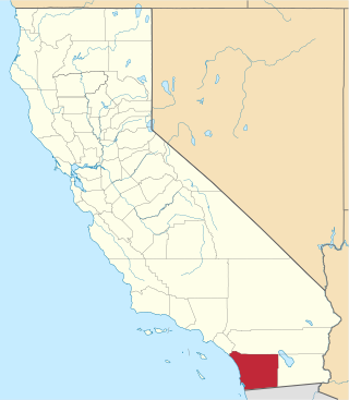
This is a list of the National Register of Historic Places listings in San Diego County, California.
National Register of Historic Places listings in Ventura County, California

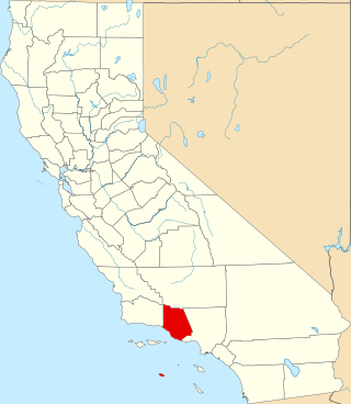
This is a list of the National Register of Historic Places listings in Ventura County, California.

National Register of Historic Places listings in Colusa County, California

This is a list of the National Register of Historic Places listings in Colusa County, California.

List table of the properties and districts — listed on the California Historical Landmarks — within Alameda County, Northern California.

List table of the properties and districts — listed on the California Historical Landmarks — within Calaveras County, California.

List table of the properties and districts — listed on the California Historical Landmarks — within Imperial County, Southern California.

This list includes properties and districts listed on the California Historical Landmark listing in Inyo County, California. Click the "Map of all coordinates" link to the right to view a Google map of all properties and districts with latitude and longitude coordinates in the table below.

Properties and districts listed as California Historical Landmarks within Kern County.

List table of the properties and districts — listed on the California Historical Landmarks in Los Angeles County, Southern California.

This list includes properties and districts listed on the California Historical Landmark listing in Modoc County, California. Click the "Map of all coordinates" link to the right to view a Google map of all properties and districts with latitude and longitude coordinates in the table below.

List table of the properties and districts — listed on the California Historical Landmarks — within Nevada County, Northern California.

List table of the properties and districts — listed on the California Historical Landmarks — within Orange County, California.

List table of the properties and districts listed on the California Historical Landmarks within Riverside County, southern California.

This list includes properties and districts listed on the California Historical Landmark listing in Sacramento County, California. Click the "Map of all coordinates" link to the right to view a Google map of all properties and districts with latitude and longitude coordinates in the table below.

List table of the properties and districts — listed on the California Historical Landmarks — within San Bernardino County, Southern California.

List table of the properties and districts — listed on the California Historical Landmarks — within Sonoma County, California.

List table of the properties and districts — listed on the California Historical Landmarks — within Santa Barbara County, California.

This list includes properties and districts listed on the California Historical Landmark listing in Tuolumne County, California. Click the "Map of all coordinates" link to the right to view a Google map of all properties and districts with latitude and longitude coordinates in the table below.

This list includes properties and districts listed on the California Historical Landmark listing in Ventura County, California. Click the "Map of all coordinates" link to the right to view a Google map of all properties and districts with latitude and longitude coordinates in the table below.

References

  1. "California Historical Landmarks By County". Ohp.parks.ca.gov. Retrieved 2019-04-03.

See also