California Historical Landmarks in Alpine County

Last updated
Map all coordinates using: OpenStreetMap  
Download coordinates as: KML

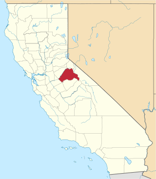
This list includes properties and districts listed on the California Historical Landmark listing in Alpine County, California. Click the "Map of all coordinates" link to the right to view a Google map of all properties and districts with latitude and longitude coordinates in the table below.

Image [1] Landmark nameLocationCity or townSummary
Ebbetts Pass Route Ebbetts Pass sign.jpg
Ebbetts Pass Route
318 Ebbetts Pass Route Ebbetts Pass
38°32′40″N119°48′43″W / 38.544353°N 119.811846°W / 38.544353; -119.811846 (Ebbetts Pass Route)
Kit Carson Marker Kit Carson photograph restored.jpg
Kit Carson Marker
315 Kit Carson Marker Carson Pass
38°41′38″N119°59′15″W / 38.693889°N 119.9875°W / 38.693889; -119.9875 (Kit Carson Marker)
Carson Pass, CaliforniaBronze representation of a tree trunk with "Carson 1844" inscribed on it, placed at Carson Pass in the Sierra Nevada, in the Eldorado National Forest and Alpine County, eastern California.
Small upload photo button.png 240 Marklee's Cabin Site Alpine County Courthouse
38°41′41″N119°46′48″W / 38.694764900°N 119.780096200°W / 38.694764900; -119.780096200 (Marklee's Cabin Site)
Markleeville
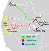
Old Emigrant Road Emigrant trails - Various emigrant trails showing California gold fields.svg
Old Emigrant Road
661 Old Emigrant Road Caples Lake
38°42′11″N120°02′11″W / 38.702967°N 120.036483°W / 38.702967; -120.036483 (Old Emigrant Road)
Kirkwood
Memorial to Pioneer Odd Fellows Three linksOdd Fellows' emblem.jpg
Memorial to Pioneer Odd Fellows
378 Memorial to Pioneer Odd Fellows
38°41′32″N119°59′15″W / 38.69215°N 119.987517°W / 38.69215; -119.987517 (Memorial to Pioneer Odd Fellows)
Kirkwood
Pony Express Remount Station at Woodfords Pony Express'60 West bound 1860.jpg
Pony Express Remount Station at Woodfords
805 Pony Express Remount Station at Woodfords On Hwy 89, 0.1 mi N of intersection of State Hwy 4 and Old Pony Express Rd.
38°46′35″N119°49′22″W / 38.7764°N 119.822717°W / 38.7764; -119.822717 (Pony Express Remount Station at Woodfords)
Woodfords

Related Research Articles

National Register of Historic Places listings in San Diego County, California

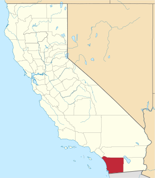
This is a list of the National Register of Historic Places listings in San Diego County, California.
National Register of Historic Places listings in Santa Cruz County, California

This is a list of the National Register of Historic Places listings in Santa Cruz County, California.

National Register of Historic Places listings in Alpine County, California

This is a list of the National Register of Historic Places listings in Alpine County, California.

List table of the properties and districts — listed on the California Historical Landmarks — within Calaveras County, California.

List table of the properties and districts — listed on the California Historical Landmarks — within Imperial County, Southern California.

This list includes properties and districts listed on the California Historical Landmark listing in Inyo County, California. Click the "Map of all coordinates" link to the right to view a Google map of all properties and districts with latitude and longitude coordinates in the table below.

Properties and districts listed as California Historical Landmarks within Kern County.

List table of the properties and districts — listed on the California Historical Landmarks in Los Angeles County, Southern California.

This list includes properties and districts listed on the California Historical Landmark listing in Mariposa County, California. Click the "Map of all coordinates" link to the right to view a Google map of all properties and districts with latitude and longitude coordinates in the table below.

This list includes properties and districts listed on the California Historical Landmark listing in Monterey County, California, United States. Click the "Map of all coordinates" link to the right to view an online map of all properties and districts with latitude and longitude coordinates in the table below.

List table of the properties and districts — listed on the California Historical Landmarks — within Nevada County, Northern California.

List table of the properties and districts — listed on the California Historical Landmarks — within Orange County, California.

List table of the properties and districts listed on the California Historical Landmarks within Riverside County, southern California.

This list includes properties and districts listed on the California Historical Landmark listing in Sacramento County, California. Click the "Map of all coordinates" link to the right to view a Google map of all properties and districts with latitude and longitude coordinates in the table below.

List table of the properties and districts — listed on the California Historical Landmarks — within San Bernardino County, Southern California.

This is a list of the properties and districts — listed as California Historical Landmarks — within Sonoma County, California.

List table of the properties and districts — listed on the California Historical Landmarks — within San Mateo County, California.

List table of the properties and districts — listed on the California Historical Landmarks — within Santa Barbara County, California.

This list includes properties and districts listed on the California Historical Landmark listing in Tuolumne County, California. Click the "Map of all coordinates" link to the right to view a Google map of all properties and districts with latitude and longitude coordinates in the table below.

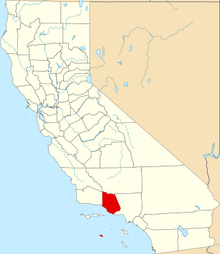
This list includes properties and districts listed on the California Historical Landmark listing in Ventura County, California. Click the "Map of all coordinates" link to the right to view a Google map of all properties and districts with latitude and longitude coordinates in the table below.

References

  1. "California Historical Landmarks By County". Ohp.parks.ca.gov. Retrieved 2019-04-03.

See also