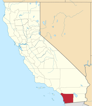
This is a list of the National Register of Historic Places listings in San Diego County, California.

This is a list of the National Register of Historic Places listings in Alameda County, California.

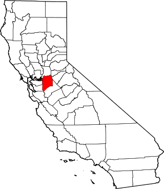
This is intended to be a complete list of the properties and districts on the National Register of Historic Places in Santa Clara County, California, United States. Latitude and longitude coordinates are provided for many National Register properties and districts; these locations may be seen together in an online map.
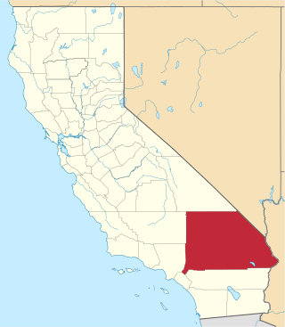
This is a list of the National Register of Historic Places listings in San Bernardino County, California.
This is a list of the National Register of Historic Places listings in San Joaquin County, California.
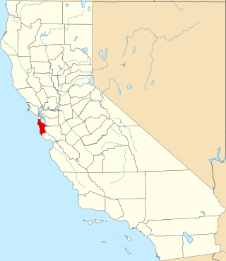
This is a list of the National Register of Historic Places listings in San Mateo County, California.

This is a list of the National Register of Historic Places listings in San Luis Obispo County, California.

This is a list of the National Register of Historic Places listings in Glenn County, California.

This is a list of the National Register of Historic Places listings in San Benito County, California.
List table of the properties and districts — listed on the California Historical Landmarks — within Calaveras County, California.
Properties and districts listed as California Historical Landmarks within Kern County.
List table of the properties and districts — listed on the California Historical Landmarks in Los Angeles County, Southern California.
List table of the properties and districts — listed on the California Historical Landmarks — within City and County of San Francisco, California.
This list includes properties and districts listed on the California Historical Landmark listing in Sacramento County, California. Click the "Map of all coordinates" link to the right to view a Google map of all properties and districts with latitude and longitude coordinates in the table below.
List table of the properties and districts — listed on the California Historical Landmarks — within San Benito County, Northern California.
List table of the properties and districts — listed on the California Historical Landmarks — within San Bernardino County, Southern California.
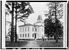
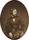
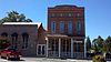
A list including the properties and districts listed on the California Historical Landmarks in San Diego County, Southern California.
This list includes properties and districts listed on the California Historical Landmark listing in San Luis Obispo County, California. Click the "Map of all coordinates" link to the right to view a Google map of all properties and districts with latitude and longitude coordinates in the table below.
List table of the properties and districts — listed on the California Historical Landmarks — within San Mateo County, California.