Faryab is one of the thirty-four provinces of Afghanistan, which is located in the north of the country bordering neighboring Turkmenistan. It has a population of about 948,000, which is multi-ethnic and mostly a tribal society. The province encompasses 15 districts and over 1,000 villages. The capital of Faryab province is Maymana. It also borders Jowzjan Province, Sar-e Pol Province, Ghor Province and Badghis Province.

Takhar is one of the thirty-four provinces of Afghanistan, located in the northeast of the country next to Tajikistan. It is surrounded by Badakhshan in the east, Panjshir in the south, and Baghlan and Kunduz in the west. The city of Taloqan serves as its capital.

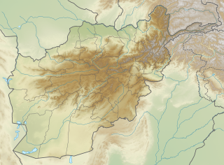
This is a list of districts of Afghanistan, known as wuleswali. These are secondary level administrative units, one level below the provinces. The Afghan government issued its first district map in 1973. It recognized 325 districts, counting wuleswalis (districts), alaqadaries (sub-districts), and markaz-e-wulaiyat. In the ensuing years additional districts have been added through splits, and a few eliminated through mergers. In June 2005, the Afghan government issued a map of 398 districts. It was widely adopted as by many information management systems, though usually with the addition of Sharak-e-Hayratan for a 399 district total. Here is a link to a clean rendering of the 399 district set as a spreadsheet from an official Afghan source. It remains the de facto standard, as of late 2018, despite a string of government announcements of the creation of new districts.

Ghormach is a district situated in the northwest of Faryab Province of Afghanistan. The district centre is Ghormach.
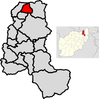
Gurziwan is a district in Faryab Province, Afghanistan. It was created in 2005 from part of Bilchiragh District.
Qurghan is a district in Faryab Province, Afghanistan. It was created in 2005 from the western part of Andkhoy District. The district center Qurghan is very close to Andkhoy at 317 m altitude.
Almar is a district in the southwestern part of Faryab Province, Afghanistan. Its northern border is the national border with Turkmenistan. The population was estimated at 150,000 in 2013. Ethnic diversity includes 35% Turkmen and 65% Uzbek.
Dawlat Abad is a district in Faryab Province, Afghanistan. The population of the district was estimated 95,800 in 2009.
Kohistan district is the southernmost district in Faryab Province. Its population is 53,100 (2010). The district center is Qal'a 35.3811°N 64.7561°E, 1909 m altitude.
Pashtun Kot district is located in the center of Faryab Province, south of the provincial capital Maymana. The district center Pashtun Kot is a suburb of Maymana. The population is 277,000 (2002) with an ethnic composition of 60% Uzbeks, 15% Tajik, 20% Turkmens 10% Pashtuns and minority Arab Aimaq.
Qaisar district is situated in the southwestern part of the Faryab Province of Afghanistan. In 1009, the population was 122,300 with an ethnic composition of 70% Uzbek, 16% Tajik, 10% Pashtun and 4% Turkman. The district center Qeysar, at the edge of the vast desert of Qaisar, has almost the same peculiarities of the Almar bazaar. This bazaar received its name at the end of the nineteenth century.
Shirin-Tagab is the district center in the Faryab Province, Afghanistan. The population was 141,642 in 2013. Ethnic composition includes 10% Pashtun, 10% Tajik and 80% Uzbek.

Darqad District is a district of Takhar Province, Afghanistan. The district has 34 villages. Darqad did not change between the 325 and 398 district sets. Near the end of 2018, the district was considered to be Taliban-influenced, as opposed to the Afghan government.
Khwaja Ghar District is a district of Takhar Province, Afghanistan. The district was badly destroyed during the 1996-2001 Afghan Civil War in fighting between the Taliban and the Northern Alliance.
Yangi Qala District is a district in Takhar Province, Afghanistan. Economically the population of this district is primarily involved in agriculture. The main crops are rice and wheat, and the surplus rice is exporting to neighboring districts and provinces. On September 10, 2019, the district was taken the Taliban. 3 days later, the district was of militants cleared in an operation. There are 64 villages in the district.

Bādghīs is one of the thirty-four provinces of Afghanistan, located in the northwest of the country, on the border with Turkmenistan. It is considered to be one of the country's most underdeveloped provinces. The capital is Qala i Naw, while the most populous city and district is Bala Murghab. The ruins of the medieval city of Marw al-Rudh, the historical capital of the medieval region of Gharjistan, are located in the province near the modern city of Bala Murghab.
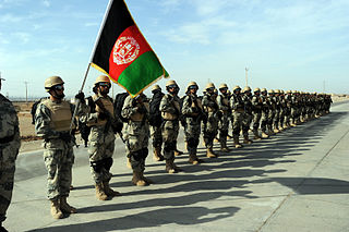
The Afghan Border Police (ABP) secure Afghanistan's 5,529 kilometres (3,436 mi) border with neighboring countries and all its international airports. It also administers immigration services such as checking documents of foreigners entering the country or deporting them. The ABP's anti-narcotic efforts are a prominent concern to the international community at present. The ABP and other divisions of the Afghan National Police jointly patrol a 55 km-wide corridor along the entirety of Afghanistan's border, particularly the longest and porous Durand Line border in the southeast with neighboring Pakistan.

Khwaja Bahauddin District is a district of Takhar Province, Afghanistan. The district was created from a portion of Yangi Qala District in 2005. 25 villages are located in Khwaja Bahauddin.
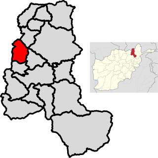
Andkhoy District is a district in Faryab Province, Afghanistan. The district center is Andkhoy, and there are a total of 81 villages in the district. Most people farm or raise livestock in the district. The district is considered to be government-influenced, as opposed to the Taliban.
The Shirin Tagab River is a river in Afghanistan, and travels 320 kilometres (200 mi) before ending in an inland delta around Andkhoi. The river's watershed has 504 settlements with a population of 605972, and covers the majority of Faryab Province. Downstream, the river is brackish/saltwater. In addition, the river is a source of water-borne diseases.