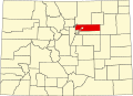
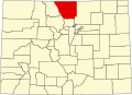
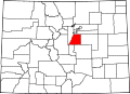
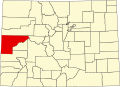
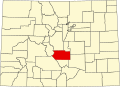
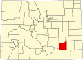
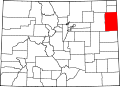
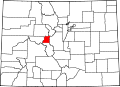
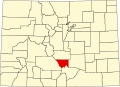
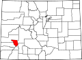
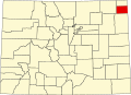
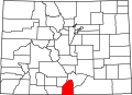
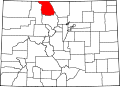
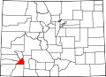
The following table lists the 272 Colorado municipalities arranged by county and population.
The table below presents the following information:
The North Central Colorado Urban Area comprises the four contiguous metropolitan statistical areas in the north central region of the State of Colorado: the Denver–Aurora Metropolitan Statistical Area, the Boulder Metropolitan Statistical Area, the Fort Collins-Loveland Metropolitan Statistical Area, and the Greeley Metropolitan Statistical Area. With the exception of southeastern Elbert County, southeastern Park County, and tiny portions of southern Douglas County, the entire North Central Colorado Urban Area is drained by the South Platte River and its tributaries. The North Central Colorado Urban Area is the central, and the most populous, of the three primary subregions of the Front Range Urban Corridor.
The South Central Colorado Urban Area comprises the Colorado Springs Metropolitan Statistical Area, the Pueblo Metropolitan Statistical Area, and the Cañon City Micropolitan Statistical Area in the central and south central region of the State of Colorado. With the exception of northern Teller County and small portions of northern El Paso County, the entire South Central Colorado Urban Area is drained by the Arkansas River and its tributaries. The South Central Colorado Urban Area is the southernmost of the three primary subregions of the Front Range Urban Corridor.
This is a population history of the 272 active incorporated municipalities of the US State of Colorado since the 2000 United States census as estimated by the United States Census Bureau.
This is a population history of the 64 counties of the US State of Colorado since the 2000 United States census as enumerated or estimated by the United States Census Bureau.
This is a population history of the 210 census-designated places in the US state of Colorado since the 2000 United States census. The United States Census Bureau defines certain unincorporated communities as census-designated places (CDPs) for enumeration in each decennial census. The Census Bureau defined 85 CDPs in Colorado for the 2000 Census, 187 CDPs for the 2010 Census, and 210 CDPs for the 2020 Census.