Port Alberni is a city located on Vancouver Island in the province of British Columbia, Canada. The city lies within the Alberni Valley at the head of the Alberni Inlet, Vancouver Island's longest inlet. Port Alberni currently has a total population of 18,259.

Della Falls is a waterfall located within Strathcona Provincial Park on Vancouver Island in British Columbia, Canada. With a total height of 440 m (1,440 ft), it ranks as the 16th tallest confirmed waterfall in Canada and the second tallest on Vancouver Island after Kiwi Falls in Schoen Lake Provincial Park.

Kootenay National Park is a national park of Canada in southeastern British Columbia. The park consists of 1,406 km2 (543 sq mi) of the Canadian Rockies, including parts of the Kootenay and Park mountain ranges, the Kootenay River and the entirety of the Vermilion River. While the Vermilion River is completely contained within the park, the Kootenay River has its headwaters just outside the park boundary, flowing through the park into the Rocky Mountain Trench and eventually joining the Columbia River. The park ranges in elevation from 918 m (3,012 ft) at the southwestern park entrance to 3,424 m (11,234 ft) at Deltaform Mountain.

Bridal Veil Falls Provincial Park is a BC Park situated on the Trans-Canada Highway just east of Rosedale, British Columbia, Canada, within of the City of Chilliwack. The community of Bridal Falls is located adjacent to the falls and park, as well as the interchange between the Trans-Canada and BC Highway 9, offering a variety of highway-based tourism services. Access to the falls requires a short hike from the parking lot and well-groomed trails, taking most groups 15-25 minutes.

Carmanah Walbran Provincial Park, originally Carmanah Pacific Provincial Park, is a remote wilderness park located inside traditional Ditidaht First Nation ancestral territory. The park covers a land area of 16,450 ha (63.5 sq mi) immediately adjacent to Pacific Rim National Park Reserve's West Coast Trail on the south-western, coastal terrain of Vancouver Island. The provincial park comprises the entire drainage of Carmanah Creek, and a good portion of the lower Walbran River drainage, both of which independently empty into the Pacific Ocean. The park is named after the Anglicized diitiid?aatx word kwaabaaduw7aa7tx, or Carmanah, meaning "as far up as a canoe can go" and John Thomas Walbran, a colonial explorer and ship's captain. Access to the park is by gravel logging road from Port Alberni, Lake Cowichan, or Port Renfrew.

Little Qualicum Falls Provincial Park is a provincial park in British Columbia, Canada, on central Vancouver Island, that encompasses the entire southern shore of Cameron Lake. The Island Rail Corridor line to Port Alberni passes through the park.
Monkman Provincial Park is a provincial park in British Columbia, southwest of Tumbler Ridge and northeast of Hansard. Like Monkman Pass, Monkman Lake, Monkman Creek and Monkman Falls, it was named after Alexander Monkman.

Rolley Lake Provincial Park is a provincial park in British Columbia, Canada. It is located on Rolley Lake in the Stave Falls area of Mission, British Columbia. The area was inhabited by the Sto:lo people, homesteaded in 1888 by James and Fanny Rolley, and later used for logging operations. The park now provides campsites, use of the lake, and hiking, with an area of 115 hectares.

Shannon Falls Provincial Park is a provincial park in British Columbia, Canada. It is located 58 kilometers (36 mi) from Vancouver and 2 kilometers (1.2 mi) south of Squamish along the Sea to Sky Highway.

Stamp River Provincial Park is a provincial park in British Columbia, Canada. The 327-hectare park is located 14 km north of Port Alberni on Vancouver Island. There are 23 camping spaces and 2 km of trails within the park along the Stamp River, named for Edward Stamp, a sawmill pioneer in the Alberni Valley.
Tweedsmuir South Provincial Park is a provincial park covering parts of the eastern Kitimat Ranges, northern Pacific Ranges, and the Rainbow Range in British Columbia, Canada. It was established on May 21, 1938 in the western interior of the province, to protect its important natural features. The park hosts a variety of recreation activities for visitors. This park encompasses a range of diverse species in this park including bears, moose, and various fish. There are also a few at risk species in this park.

Great Central Lake is a lake on Vancouver Island, British Columbia, Canada. It is located north of Sproat Lake and to the northwest of the city of Port Alberni. It is 45 kilometres (28 mi) long, with an area of 50.85 square kilometres (19.63 sq mi) and mean depth of 124 metres (407 ft), to a maximum of 250 metres (820 ft), making it the second deepest lake on Vancouver Island. The lake is long and narrow, with the exception of Trestle Bay located on the east end of the lake. It is nestled beneath low mountains, with second-growth forest surrounding most of the lake. The water level is controlled by a dam on the east side.

Alberni Valley is a broad valley located at the head of Alberni Inlet on Vancouver Island in British Columbia, Canada. It is home to Port Alberni, Sproat Lake and other outlining areas. The term is largely used as a synonym for Greater Port Alberni and adjoining communities but is used in a larger regional sense as well. Various local organizations and companies use the term "Alberni Valley" in their name, e.g. the Alberni Valley Times and Alberni Valley News newspapers the Alberni Valley Chamber of Commerce and the Alberni Valley Bulldogs minor hockey team. The Canadian pioneer, Joe Drinkwater lived in Alberni Valley during the late nineteenth and early twentieth centuries.

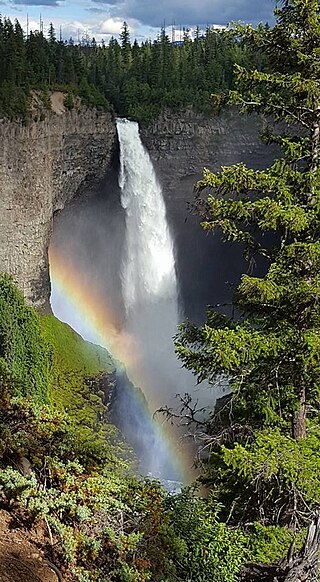
Spahats Creek Falls, also called Spahats Falls, is a waterfall on Spahats Creek within Wells Gray Provincial Park of British Columbia, Canada. Common references place the falls at around 60 m (197 ft) tall, but taking into account the second tier, it is closer to 75–80 meters tall. It is a popular stop for tourists and especially motorcoach tours since it is only 10 km (6.2 mi) off the busy Yellowhead Highway.

McDougall Falls is a waterfall on the Murtle River in Wells Gray Provincial Park, east-central British Columbia, Canada.

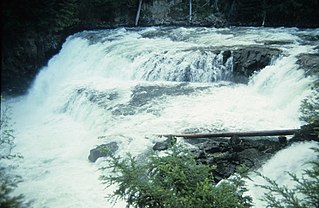
Majerus Falls is one of seven waterfalls on the Murtle River west of Murtle Lake in Wells Gray Provincial Park, east-central British Columbia, Canada.

Hunlen Falls is a waterfall located at the mouth of Turner Lake in the Pacific Ranges of British Columbia, Canada. With an estimated height of 260 m (850 ft), it is tied with Takakkaw Falls in Yoho National Park for having the fourth tallest single drop of any waterfall in Canada.

Wells Gray Provincial Park is a large wilderness park located in east-central British Columbia, Canada. The park protects most of the southern, and highest, regions of the Cariboo Mountains and covers 5,415 square kilometres. It is British Columbia's fifth largest provincial park, after Tweedsmuir, Tatshenshini, Spatsizi and Northern Rocky Mountains.

Moul Falls is a waterfall on Grouse Creek in Wells Gray Provincial Park, east-central British Columbia, Canada. It is one of the park's most popular short hiking trails. It is the only waterfall in the park that one can stand behind. Moul Falls is the third highest waterfall in the park, measured as a straight, unbroken drop.

Cascade Falls Regional Park is a regional park under the administration of the Fraser Valley Regional District in the Hatzic Valley of the Lower Mainland region of British Columbia, Canada. The park was originally 9.5 hectares in area but was expanded to a current 22 hectares. It has picnic tables and pit toilets, with various hiking trails and a walkway leading to a viewing platform over a large waterfall, which is 15 minutes walk from the park's parking lot.


