
Saskatoon Greystone was a provincial electoral district for the Legislative Assembly of Saskatchewan, Canada. It was last contested in the 2011 provincial election before being dissolved into Saskatoon Churchill-Wildwood and Saskatoon University.
Anstey-Hunakwa Provincial Park is a provincial park in the Shuswap Country of the Southern Interior of British Columbia, Canada. 6,852 hectares in size, the park was established 18 April 2001.
Buckinghorse River Wayside Provincial Park is a provincial park in British Columbia, Canada located on the Alaska Highway, approximately 175 km northwest of the city of Fort St. John. It is located on the north side of the Buckinghorse River, to the northwest of the community of Pink Mountain. The park is 36 ha. in size and is near the community of Buckinghorse River.
Boulder Creek Provincial Park is a provincial park in British Columbia, Canada, located to the west of BC Highway 16 near Smithers, in the Bulkley Valley.
Bishop River Provincial Park is a provincial park in the Pacific Ranges of the Coast Mountains on the Mainland of British Columbia, Canada, located southwest of and adjoining Ts'yl-os Provincial Park."Bishop River Park". BC Geographical Names. It lies along the upper course of the Bishop River, the main tributary of the Southgate River, from the Bishop's source at the western side of the Lillooet Icecap to midway along its course above its confluence with the Southgate. The park is 19,947 ha. in size. There are no roads or trails in the park although a forest service road from Waddington Harbour at the head of Bute Inlet leads up the Southgate to within a few miles of the park boundary.
Eagle Bay Provincial Park is a provincial park in British Columbia, Canada which covers 262 hectares of land.
Green Inlet Marine Provincial Park is a provincial park in British Columbia, Canada, in the North Coast region to the southeast of Butedale and containing 33 ha.
Kitimat River Provincial Park is a provincial park in British Columbia, Canada. It was established on May 17, 2004, and is 57 ha. in size.

Lakelse Lake Provincial Park is a provincial park in British Columbia, Canada, located just west of Highway 37 between Terrace and Kitimat. The name is derived from the Coast Tsimshian language word "LaxGyels" - "fresh water mussel", for the mollusk that is found on the bottom of both Lakelse Lake and Lakelse River. Before Lakelse Lake became a provincial park, Hatchery Creek, which runs throughout the park, was the site of a sockeye salmon hatchery operated by the Canadian Government between 1919 and 1936. Lakelse Lake Provincial Park was established on March 16, 1956.
Lakelse Lake Wetlands Provincial Park is a provincial park in British Columbia, Canada, located near the city of Terrace in that province's Skeena Country. It is 1214 ha. in size.

Little Qualicum Falls Provincial Park is a provincial park in British Columbia, Canada, on central Vancouver Island, that encompasses the entire southern shore of Cameron Lake. The Island Rail Corridor line to Port Alberni passes through the park.
Nalbeelah Creek Wetlands Provincial Park is a provincial park in British Columbia, Canada.

Owyacumish River Provincial Park is a provincial park in British Columbia, Canada.
Read Island Provincial Park is a provincial park in British Columbia, Canada. It is located on the south end of Read Island. Established in 1996, the park contains approximately 637 ha.
Sleeping Beauty Mountain Provincial Park is a provincial park in British Columbia, Canada located northwest of the city of Terrace. It is located in the watershed of the Zymagotitz River.
Sue Channel Provincial Park is a provincial park in British Columbia, Canada.
The Kitwanga River is a tributary of the Skeena River near Hazelton in northwestern British Columbia, Canada, joining that stream at the community of Kitwanga (Gitwangak), which means "people of the place of rabbits".
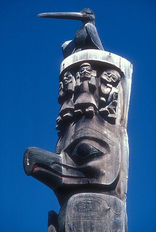
Gitanyow is an Indian reserve community of the Gitxsan people, located on the Kitwanga River 8 km south of Kitwancool Lake, at the confluence of Kitwancool Creek. The community is located on Gitanyow Indian Reserve No. 1.
Mount Gunanoot is a mountain in the Spatsizi Plateau of the North-Central Interior of British Columbia, Canada, located just east of the headwaters of the Spatsizi River. It is named for Simon Gunanoot, a Gitxsan packer, entrepreneur and erstwhile fugitive who was hunted for several years before turning himself in for trial and being acquitted. Gunanoot is responsible for "opening up" most of the country in this region.
Kananaskis Village is an unincorporated community in Alberta's Rockies within the Kananaskis Country park system in the Kananaskis Improvement District of Alberta, Canada. It is located approximately 26 km (16 mi) south of the Trans-Canada Highway, 3 km (1.9 mi) west of Highway 40 via Mt. Allan Drive and Centennial Drive. The community is located on the west shore of the Kananaskis River at the base of Mount Kidd.

