Kallody | |
|---|---|
Village | |
 | |
 Kallody Location in Kerala, India  Kallody Kallody (India) | |
| Coordinates: 11°45′56.451″N75°57′41.372″E / 11.76568083°N 75.96149222°E | |
| Country | |
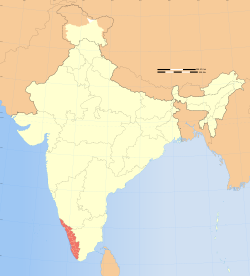
| State | Kerala |
| District | Wayanad |
| Government | |
| • Type | Grama panchayat |
| Elevation | 792 m (2,598 ft) |
| Languages | |
| • Official | Malayalam, English |
| Time zone | UTC+5:30 (IST) |
| PIN | 670645 |
| Telephone Code | +91 4935 |
| Vehicle registration | KL-12(Wayanad RTO [2] ), KL-72 (Mananthavady Sub-RTO [3] ) |
| Coastline | 0 kilometres (0 mi) |
| Nearest city | Mananthavady |
| Literacy | 90% |
| Major Highway | Hill Highway (Kerala) SH-59 |
| Avg. summer temperature | +25 °C (77 °F) |
| Avg. winter temperature | +15 °C (59 °F) |
Kallody is a village in the Edavaka Grama panchayath of the Wayanad district, Kerala, India. It forms part of the Mananthavady Taluk. The Hill Highway (Kerala) SH-59 passes through this village town.
Contents
Kallody is home to the St. George Forane Church Kallody, Wayanad and Chowayil Bhagavathy Temple.
